 Old Cumbria Gazetteer
 |
 |
|
| White Mines, Murton | ||
| White Mines | ||
| locality:- | Murton Fell | |
| civil parish:- | Murton (formerly Westmorland) | |
| county:- | Cumbria | |
| locality type:- | mine | |
| coordinates:- | NY74402262 | |
| 1Km square:- | NY7422 | |
| 10Km square:- | NY72 | |
| references:- | KDMRS 1979-82 |
|
|
|
||
 BVB33.jpg (taken 24.7.2011)  BVB34.jpg (taken 24.7.2011) |
||
|
|
||
| evidence:- | old map:- OS County Series (Wmd 10 9) placename:- White Mines |
|
| source data:- | Maps, County Series maps of Great Britain, scales 6 and 25
inches to 1 mile, published by the Ordnance Survey, Southampton,
Hampshire, from about 1863 to 1948. |
|
|
|
||
| evidence:- | visit log:- KDMRS 1979-82 placename:- White Mines item:- barytes; galena; flourspar; hematite; manganese ore; aragonite |
|
| source data:- | Notes, log book of Geological Outings, mine plans, etc, Kendal
and District Mine Research Society, Kendal area, Cumbria, etc,
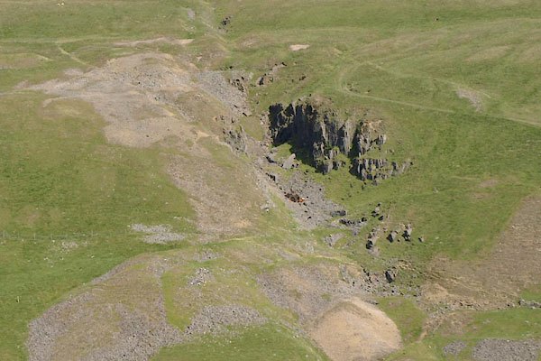
visits made 1979-82. Geological Outing of the Kendal and District Mine Research Society Log book page 83:- "DATE - SUNDAY 29/3/81 / MAP REF - (NY72) 7440/2260 / LOCATION - MURTON / NAME - WHITE MINES. / TYPE OF SITE - MINES / WORKING OR DISUSED - DISUSED. / PEOPLE IN PARTY [ ] / NOS. OF PHOTOS - 50. / SPECIMENS FOUND - BARYTES, GALENA SMALL CRYSTALS OF FLOURSPAR, HAEMATITE, MANGANESE, &ARAGONITE. / COMMENTS - WARM, SUNNY, BUT WINDY DAY. LARGE SPOIL HEAPS WITH TWO LEVELS STILL OPEN, BUT BLOCKED BY ROOF FALLS AFTER 15YDS-20YDS IT APPEARS FROM PHYSICAL EVIDENCE THAT THERE WERE POSSIBLY FOUR LEVELS IN ALL, ONE OF WHICH WAS POSSIBLY A DRAINAGE LEVEL." item:- private collection : 82 Image © see bottom of page |
|
|
|
||
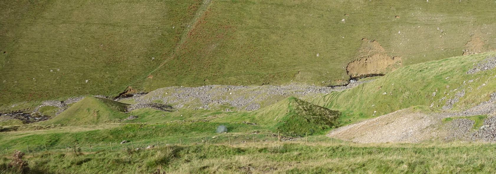 Click to enlarge CGR45.jpg (taken 5.10.2017) 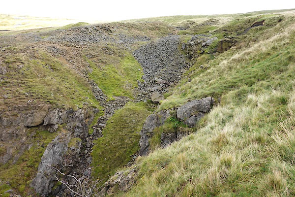 CGR44.jpg (taken 5.10.2017) 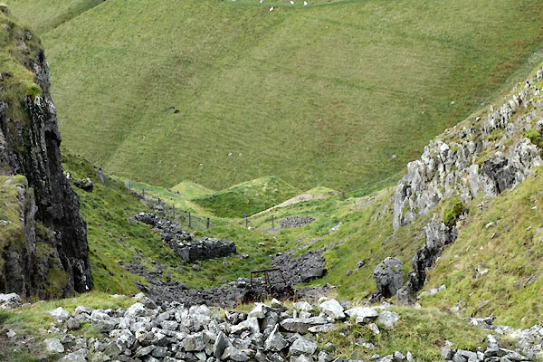 CGR46.jpg (taken 5.10.2017) 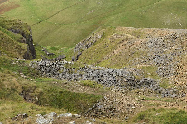 CGR47.jpg (taken 5.10.2017) 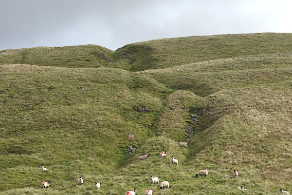 CGR48.jpg Line of working above, (taken 5.10.2017) |
||
|
|
||
 Lakes Guides menu.