 Old Cumbria Gazetteer
 |
 |
|
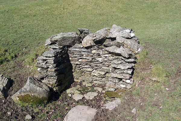
| water trough, Whitwell and Selside | ||
| civil parish:- | Whitwell and Selside (formerly Westmorland) | |
| county:- | Cumbria | |
| locality type:- | water trough (?) | |
| coordinates:- | NY53730063 | |
| 1Km square:- | NY5300 | |
| 10Km square:- | NY50 | |
| SummaryText:- | By an old road, Kendal to Shap. | |
|
|
||
 BNK10.jpg (taken 23.3.2007) |
||
|
|
||
 Lakes Guides menu.