 Old Cumbria Gazetteer
 |
 |
|
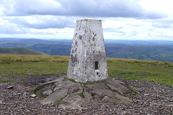
| trig point, SD6673297054 | ||
| site name:- | Calf, The | |
| locality:- | Howgill Fells | |
| civil parish:- | Sedbergh (formerly Yorkshire) | |
| civil parish:- | Ravenstonedale (formerly Westmorland) | |
| county:- | Cumbria | |
| locality type:- | trig point (pillar) | |
| coordinates:- | SD6673297054 | |
| 1Km square:- | SD6697 | |
| 10Km square:- | SD69 | |
| altitude:- | 2220 feet | |
| altitude:- | 676.6m | |
| references:- | OS website |
|
|
|
||
 BNX87.jpg (taken 8.8.2007) 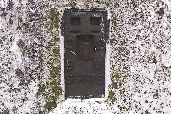 BNX88.jpg (taken 8.8.2007) |
||
|
|
||
 Lakes Guides menu.