 Old Cumbria Gazetteer
 |
 |
|
| trig point, SD6644685634 | ||
| site name:- | Calf Top | |
| locality:- | Middleton Fell | |
| civil parish:- | Middleton (formerly Westmorland) | |
| civil parish:- | Dent (formerly Yorkshire) | |
| county:- | Cumbria | |
| locality type:- | trig point (pillar) | |
| coordinates:- | SD6644685634 | |
| 1Km square:- | SD6685 | |
| 10Km square:- | SD68 | |
| altitude:- | 2000 feet | |
| altitude:- | 609.6m | |
| references:- | OS website |
|
|
|
||
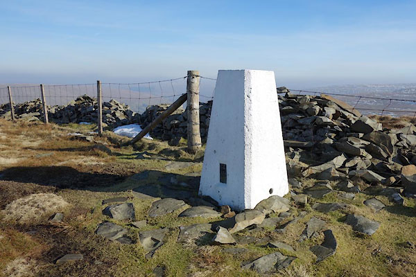 BXX34.jpg (taken 18.2.2013) |
||
|
|
||
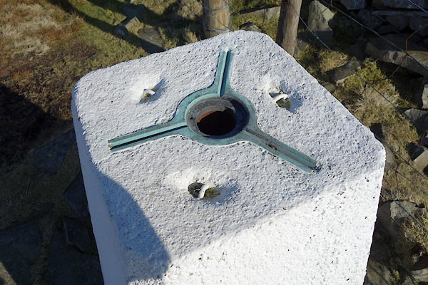 BXX35.jpg Theodolite mounting (taken 18.2.2013) 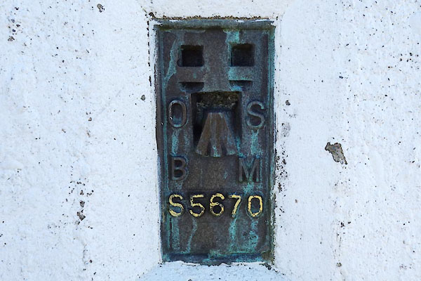 BXX36.jpg Bench mark. (taken 18.2.2013) |
||
|
|
||
 Lakes Guides menu.