 Old Cumbria Gazetteer
 |
 |
|
| trig point, SD3904388486 | ||
| site name:- | Gummer's How | |
| civil parish:- | Staveley-in-Cartmel (formerly Lancashire) | |
| county:- | Cumbria | |
| locality type:- | trig point (pillar) | |
| coordinates:- | SD3904388486 | |
| 1Km square:- | SD3988 | |
| 10Km square:- | SD38 | |
| altitude:- | 1055 feet | |
| altitude:- | 321.5m | |
| references:- | OS website |
|
|
|
||
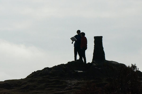 BYC82.jpg Tourists and map. (taken 11.4.2013) 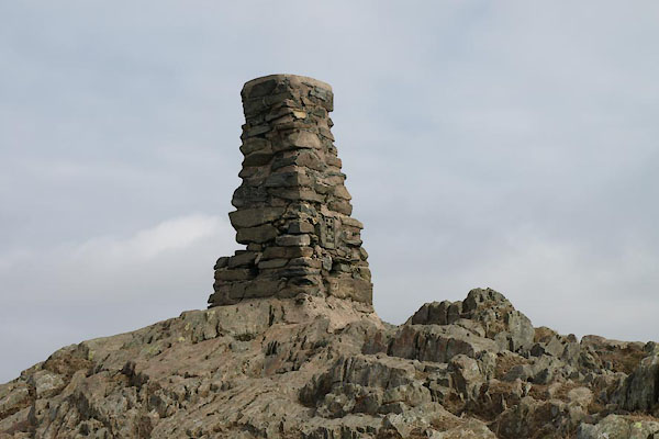 BYC84.jpg (taken 11.4.2013) |
||
|
|
||
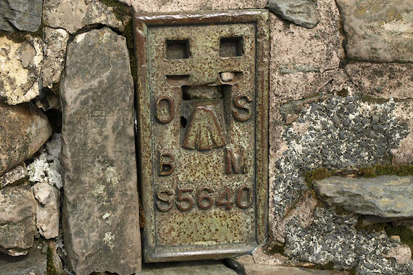 BYC85.jpg (taken 11.4.2013) |
||
|
|
||
 Lakes Guides menu.