 Old Cumbria Gazetteer
 |
 |
|
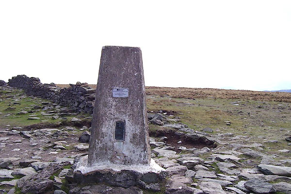
| trig point, NY4407511048 | ||
| site name:- | High Street | |
| civil parish:- | Patterdale (formerly Westmorland) | |
| civil parish:- | Shap (formerly Westmorland) | |
| county:- | Cumbria | |
| locality type:- | trig point (pillar) | |
| coordinates:- | NY4407511048 | |
| 1Km square:- | NY4411 | |
| 10Km square:- | NY41 | |
| altitude:- | 2720 feet | |
| altitude:- | 829m | |
| references:- | OS website |
|
|
|
||
 BNO92.jpg (taken 18.4.2007) 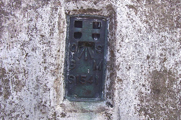 BNO93.jpg Flush bracket bench mark. (taken 18.4.2007) |
||
|
|
||
| evidence:- | descriptive text:- OS 1967 |
|
| source data:- | Book, the History of the Retriangulation of Great Britain
1935-1962, by the Ordnance Survey, published by HMSO, London,
1967. Position, NGR coordinates, metres (to nearest mm):- "344 075.439 / 511 048.123" Position, latitude and longitude, degrees minutes decimal seconds:- "54 29 29.5760 / 02 51 48.4628 W" |
|
|
|
||
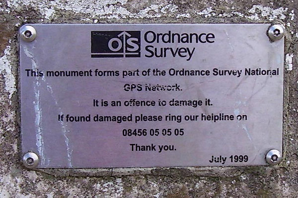 BNO94.jpg New notice:- "... This monument forms part of the Ordnance Survey National GPS Newtork ... July 1999." (taken 18.4.2007) |
||
|
|
||
 Lakes Guides menu.