 Old Cumbria Gazetteer
 |
 |
|
| stone wall, Longsleddale (4) | ||
| site name:- | Nether House Farm | |
| locality:- | Longsleddale | |
| civil parish:- | Longsleddale (formerly Westmorland) | |
| county:- | Cumbria | |
| locality type:- | stone wall | |
| coordinates:- | NY51320060 (etc) | |
| 1Km square:- | NY5100 | |
| 10Km square:- | NY50 | |
| amateur | ||
| stratigraphy:- | mudstone; siltstone | |
| stratigraphy:- | Silurian; Ludlow | |
|
|
||
| MN photo:- |
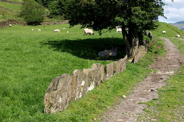
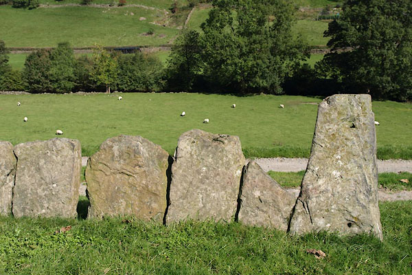
Stone wall made with vertical flags, along the track north of Nether House Farm. |
|
| The slab wall is more an edge marker than a barrier. |
||
 BUU43.jpg (taken 20.6.2011) 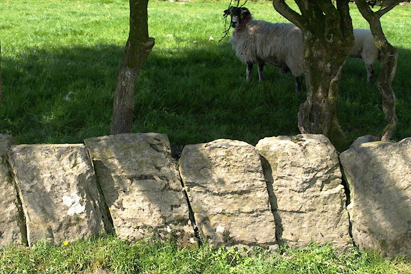 BUU44.jpg (taken 20.6.2011) |
||
 BTO45.jpg (taken 24.9.2010) 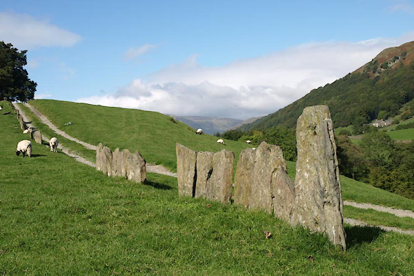 BTO46.jpg (taken 24.9.2010) 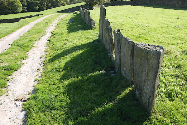 BTO47.jpg (taken 24.9.2010) |
||
|
|
||
 Lakes Guides menu.