 Old Cumbria Gazetteer
 |
 |
|
| standing stone, Kitchen Hill | ||
| Kitchen Hill Monolith | ||
| locality:- | Kitchen Hill | |
| civil parish:- | Penrith (formerly Cumberland) | |
| county:- | Cumbria | |
| locality type:- | hill | |
| coordinates:- | NY49643434 | |
| 1Km square:- | NY4934 | |
| 10Km square:- | NY43 | |
|
|
||
 BND52.jpg (taken 3.2.2007) 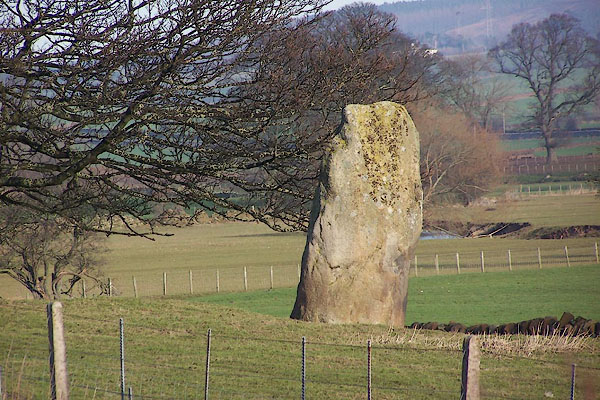 BND53.jpg (taken 3.2.2007) |
||
|
|
||
| evidence:- | old map:- LMS 1920s maps |
|
| source data:- | Railway map, lithograph, 23 pages of strip maps, The Journey in
Brief, the Route London to Carlisle, published by the London
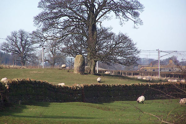
Midland and Scottish Railway, LMS, 1920s.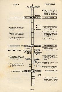 click to enlarge click to enlargeLS3p28.jpg Three monoliths, standing stones, by the railway; the southernmost on is on Kitchen Hill. item:- JandMN : 95.2 Image © see bottom of page |
|
|
|
||
| evidence:- | old print:- LMS 1920s item:- standing stone; Kitchen Hill Monolith |
|
| source data:- | Kitchen Hill Monolith, drawn by R M Hutchings, published in the LMS Route Book No.3,
The Track of the Royal Scot, by the London, Midland and Scottish Railway, LMS, 1920s.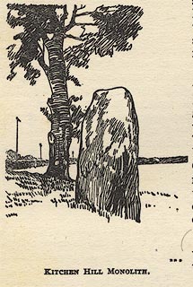 click to enlarge click to enlargeLS1E41.jpg item:- JandMN : 95.14 Image © see bottom of page |
|
|
|
||
 Lakes Guides menu.