 Old Cumbria Gazetteer
 |
 |
|
| Stanah Gill | ||
| runs into:- |  Sty Beck Sty Beck |
|
|
|
||
| civil parish:- | St John's Castlerigg and Wythburn (formerly Cumberland) | |
| county:- | Cumbria | |
| locality type:- | river | |
| 1Km square:- | NY3218 (etc) | |
| 10Km square:- | NY31 | |
|
|
||
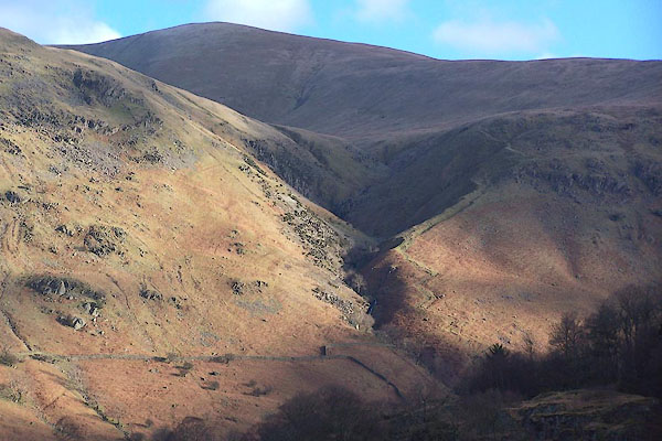 BND89.jpg (taken 5.2.2007) 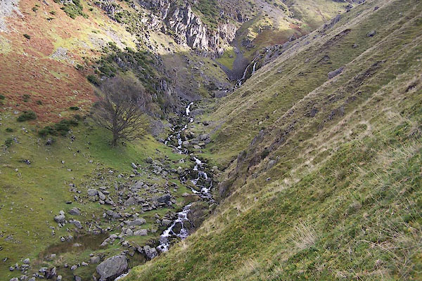 BVN82.jpg (taken 19.10.2011) |
||
|
|
||
| evidence:- | old map:- OS County Series (Cmd 65 13) placename:- Stanah Gill |
|
| source data:- | Maps, County Series maps of Great Britain, scales 6 and 25
inches to 1 mile, published by the Ordnance Survey, Southampton,
Hampshire, from about 1863 to 1948. |
|
|
|
||
Lakes Guides menu.