 Old Cumbria Gazetteer
 |
 |
|
| St Helen's Bridge, Cockermouth | ||
| St Helen's Bridge | ||
| civil parish:- | Cockermouth (formerly Cumberland) | |
| county:- | Cumbria | |
| locality type:- | bridge | |
| coordinates:- | NY14143116 | |
| 1Km square:- | NY1431 | |
| 10Km square:- | NY13 | |
|
|
||
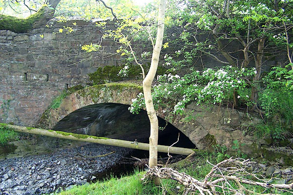 BNR52.jpg Signs of realignment at one rebuilding. (taken 25.5.2007) 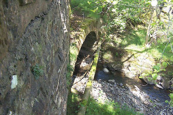 BNR53.jpg Signs of realignment at one rebuilding. (taken 25.5.2007) |
||
|
|
||
| evidence:- | old map:- Bell 1892 placename:- St Helens Bridge |
|
| source data:- | Map, colour lithograph, Road Map of Cumberland, by George Joseph
Bell, scale about 2.5 miles to 1 inch, printed by Charles
Thurnam and Sons, Carlisle, Cumberland, 1892.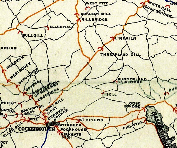 BEL9NY13.jpg "ST. HELENS" bridge symbol Road map of Cumberland showing County Bridges item:- Carlisle Library : Map 38 Image © Carlisle Library |
|
|
|
||
 Lakes Guides menu.