 Old Cumbria Gazetteer
 |
 |
|
| Carlingill Bridge, Tebay | ||
| Carlingill Bridge | ||
| site name:- | Carlingill Beck | |
| civil parish:- | Tebay (formerly Westmorland) | |
| county:- | Cumbria | |
| locality type:- | bridge | |
| coordinates:- | SD62459964 | |
| 1Km square:- | SD6299 | |
| 10Km square:- | SD69 | |
|
|
||
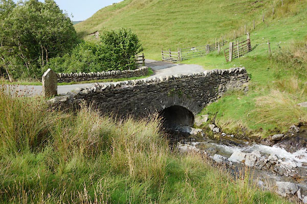 BZD90.jpg (taken 25.8.2013) 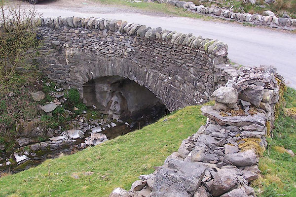 BNP37.jpg (taken 18.4.2007) |
||
|
|
||
| evidence:- | old map:- OS County Series (Wmd 34 4) placename:- Carlingill Bridge |
|
| source data:- | Maps, County Series maps of Great Britain, scales 6 and 25
inches to 1 mile, published by the Ordnance Survey, Southampton,
Hampshire, from about 1863 to 1948. |
|
|
|
||
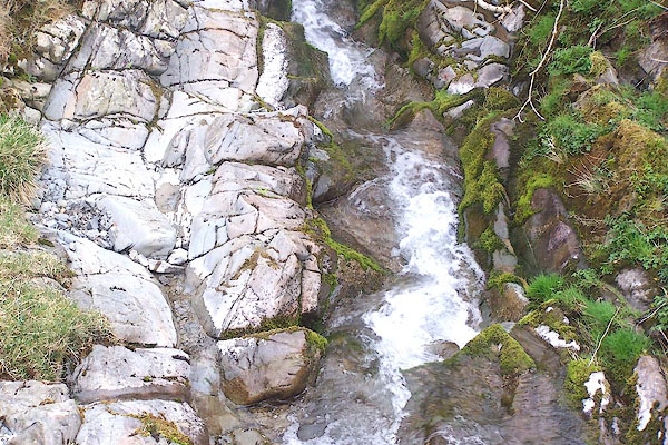 BNP38.jpg View of river. (taken 18.4.2007) 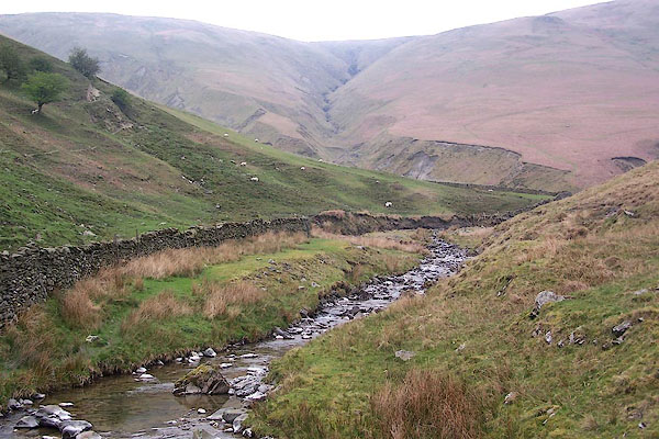 BNP40.jpg View of river. (taken 18.4.2007) |
||
|
|
||
 Lakes Guides menu.