 Old Cumbria Gazetteer
 |
 |
|
| Lamplugh Tip Inn, Lamplugh | ||
| Lamplugh Tip Inn | ||
| civil parish:- | Lamplugh (formerly Cumberland) | |
| county:- | Cumbria | |
| locality type:- | inn | |
| coordinates:- | NY07602021 | |
| 1Km square:- | NY0720 | |
| 10Km square:- | NY02 | |
|
|
||
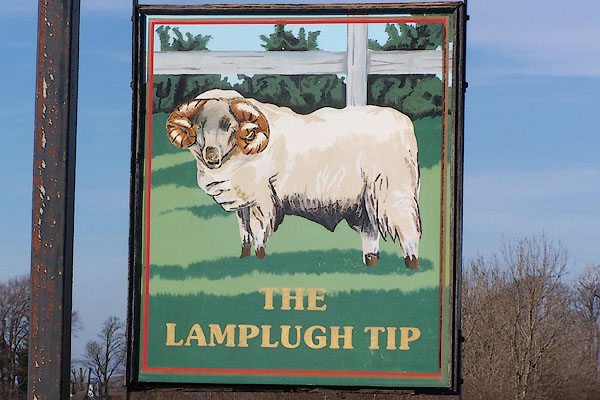 BNM57.jpg Innsign, a fine tup. (taken 4.4.2007) 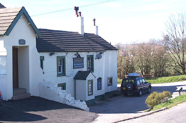 BNM56.jpg (taken 4.4.2007) |
||
|
|
||
| evidence:- | old map:- OS County Series (Cmd 62 14) placename:- Murton Hole placename:- Royal Oak |
|
| source data:- | Maps, County Series maps of Great Britain, scales 6 and 25
inches to 1 mile, published by the Ordnance Survey, Southampton,
Hampshire, from about 1863 to 1948. "Murton Hole (Royal Oak) P.H." |
|
|
|
||
 Lakes Guides menu.