 Old Cumbria Gazetteer
 |
 |
|
| High Bridge, Highbridge | ||
| High Bridge | ||
| site name:- | Roe, River | |
| locality:- | Highbridge | |
| civil parish:- | Dalston (formerly Cumberland) | |
| county:- | Cumbria | |
| locality type:- | bridge | |
| coordinates:- | NY39464383 | |
| 1Km square:- | NY3943 | |
| 10Km square:- | NY34 | |
|
|
||
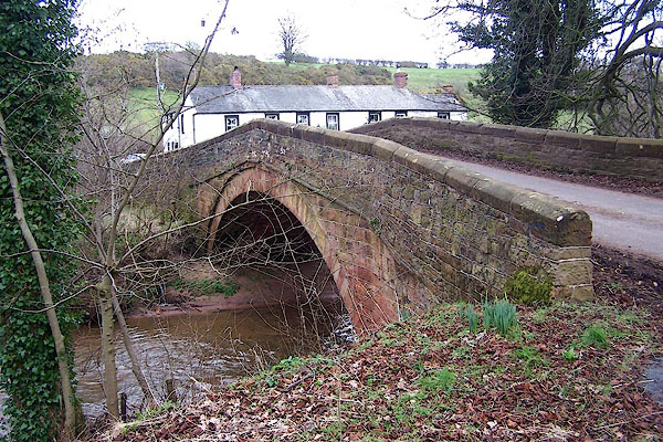 BNH87.jpg (taken 9.3.2007) |
||
|
|
||
| evidence:- | old map:- OS County Series (Cmd 38 3) placename:- High Bridge placename:- Bridge, High |
|
| source data:- | Maps, County Series maps of Great Britain, scales 6 and 25
inches to 1 mile, published by the Ordnance Survey, Southampton,
Hampshire, from about 1863 to 1948. |
|
|
|
||
| evidence:- | old map:- Bell 1892 placename:- High Bridge |
|
| source data:- | Map, colour lithograph, Road Map of Cumberland, by George Joseph
Bell, scale about 2.5 miles to 1 inch, printed by Charles
Thurnam and Sons, Carlisle, Cumberland, 1892.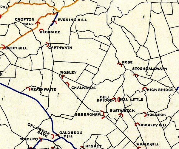 BEL9NY34.jpg "HIGH BRIDGE" bridge symbol Road map of Cumberland showing County Bridges item:- Carlisle Library : Map 38 Image © Carlisle Library |
|
|
|
||
| evidence:- | database:- Listed Buildings 2010 placename:- High Bridge |
|
| source data:- | courtesy of English Heritage "HIGH BRIDGE / / / DALSTON / CARLISLE / CUMBRIA / II / 493499 / NY3946343821" |
|
| source data:- | courtesy of English Heritage "Road bridge. Early 19th century. Designer unknown. Local red sandstone. Single arch supporting a single track, hump-backed carriageway. Arch is segmental with single arch ring surmounted by string course. Second string course marks base of parapet and a change in coursing with ashlar below and snecked stone above. Parapet capped by chamfered coping. Good example of an unwidened early 19th century style road bridge." |
|
|
|
||
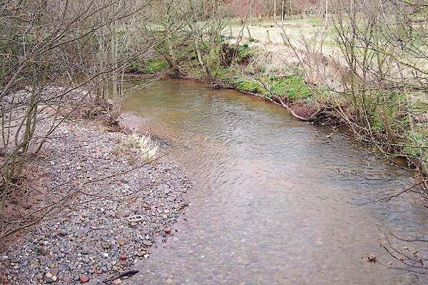 BNH88.jpg View of river. (taken 9.3.2007) |
||
|
|
||
 Lakes Guides menu.