 |
 |
   |
|
|
|
High Barn |
| locality:- |
Swinklebank (?) |
| civil parish:- |
Longsleddale (formerly Westmorland) |
| county:- |
Cumbria |
| locality type:- |
buildings (disused) |
| coordinates:- |
NY49130473 |
| 1Km square:- |
NY4904 |
| 10Km square:- |
NY40 |
|
|
|
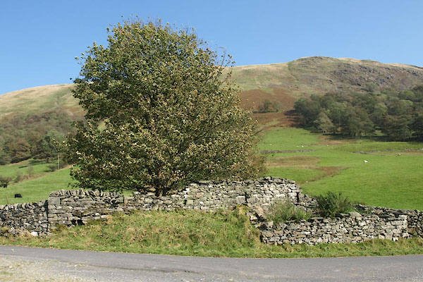
BVK64.jpg (taken 30.9.2011)
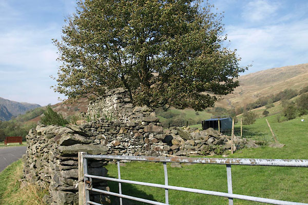
BVK63.jpg (taken 30.9.2011)
|
|
|
| evidence:- |
old map:- OS County Series (Wmd 27 7)
placename:- High Barn
|
| source data:- |
Maps, County Series maps of Great Britain, scales 6 and 25
inches to 1 mile, published by the Ordnance Survey, Southampton,
Hampshire, from about 1863 to 1948.
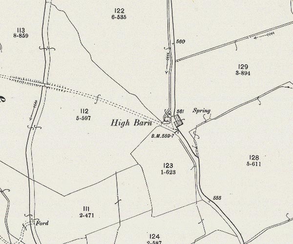
C5E006.jpg
"High Barn"
|
|
|
| evidence:- |
old map:- Kendal Corn Rent Act 1836
placename:- High Barn
|
| source data:- |
Tithe map, Plan of part of the Township of Longsleddale, Westmorland, made regarding
the Kendal Corn Rent Act, ie a tithe award map, scale about 20 inches to 1 mile, Kendal,
Westmorland, 1836.
courtesy of Mark Cropper
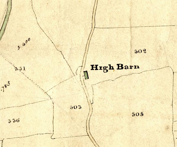
KCR205.jpg
Plan of part of the Township of Longsleddale, Westmorland, made regarding the Kendal
Corn Rent Act, ie a tithe award map, scale about 20 inches to 1 mile, Kendal, Westmorland,
1836. "High Barn"
item:- private collection : 370
Image © see bottom of page
|
|
|
|
 old parish registers (formerly ) old parish registers (formerly ) |
|
|
| evidence:- |
map:- OS Six Inch (1956)
placename:- High Barn
|
| source data:- |
Map series, various editions with the national grid, scale about
6 inches to 1 mile, published by the Ordnance Survey,
Southampton, Hampshire, scale 1 to 10560 from 1950s to 1960s,
then 1 to 10000 from 1960s to 2000s, superseded by print on
demand from digital data.
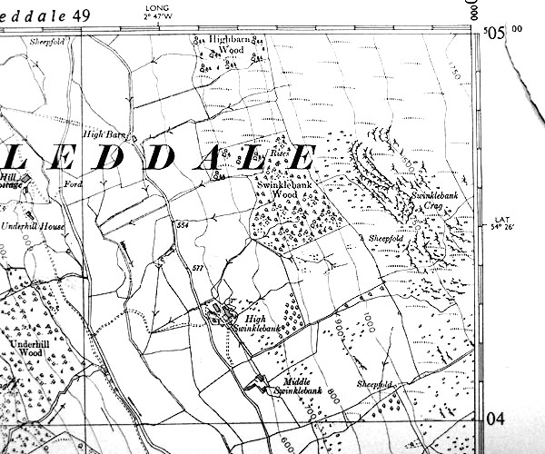
SINY4904.jpg
"High Barn"
|
|
|
copy photo:-
|
These scenes are probably in a field at High Barn, harvest time for the Fishwicks
of Tills Hole, probably 1940s and 1950s.
|
|
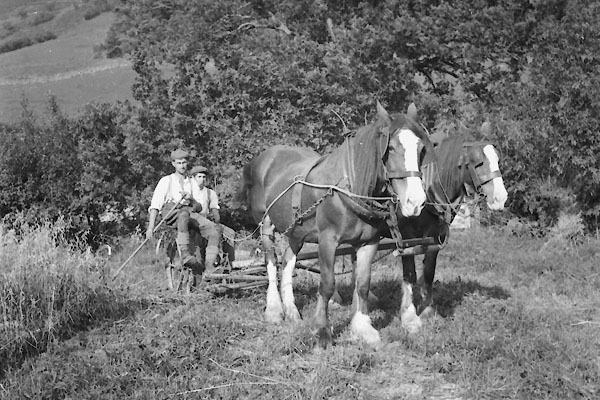
CDP98.jpg Mowing oats, Bill Fishwick driving, Tom working the rake.
courtesy of Nial Barnes
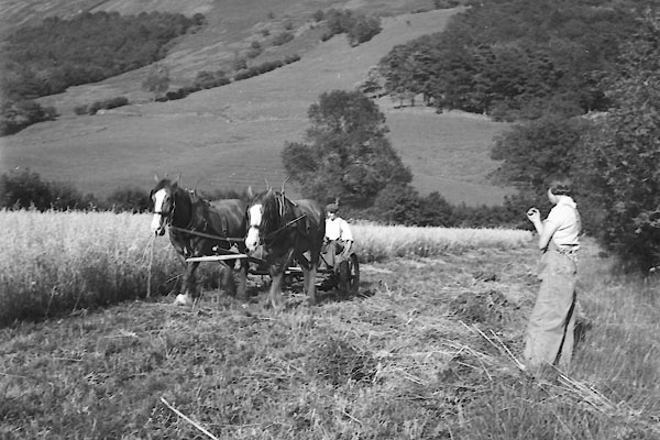
CDQ16.jpg Harvest, oats, 1940s-50s.
courtesy of Nial Barnes
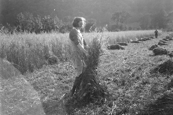
CDQ01.jpg Tying sheaves of oats.
courtesy of Nial Barnes
|
|
|


 old parish registers (formerly )


 Lakes Guides menu.