 Old Cumbria Gazetteer
 |
 |
|
| Hardrigg, Lambrigg | ||
| Hardrigg | ||
| Hairdrigg | ||
| civil parish:- | Lambrigg (formerly Westmorland) | |
| county:- | Cumbria | |
| locality type:- | buildings | |
| coordinates:- | SD58309600 | |
| 1Km square:- | SD5896 | |
| 10Km square:- | SD59 | |
|
|
||
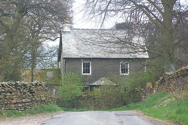 BNP29.jpg (taken 18.4.2007) |
||
|
|
||
| evidence:- | old map:- OS County Series (Wmd 34 15) placename:- Hardrigg |
|
| source data:- | Maps, County Series maps of Great Britain, scales 6 and 25
inches to 1 mile, published by the Ordnance Survey, Southampton,
Hampshire, from about 1863 to 1948. |
|
|
|
||
| hearsay:- |
Spelled Hairdrigg on the Admin Areas Diagram. |
|
|
|
||
 Lakes Guides menu.