 |
 |
   |
|
|
|
Grimes Hill |
| civil parish:- |
Middleton (formerly Westmorland) |
| county:- |
Cumbria |
| locality type:- |
buildings |
| coordinates:- |
SD62218660 |
| 1Km square:- |
SD6286 |
| 10Km square:- |
SD68 |
| references:- |
OS County Series
|
|
|
| evidence:- |
old map:- OS County Series (Wmd 43 4)
placename:- Grimes Hill
|
| source data:- |
Maps, County Series maps of Great Britain, scales 6 and 25
inches to 1 mile, published by the Ordnance Survey, Southampton,
Hampshire, from about 1863 to 1948.
|
|
|
| evidence:- |
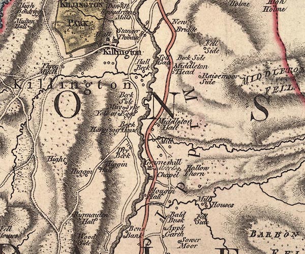
old map:- Jefferys 1770 (Wmd)
placename:- Grimeshill
|
| source data:- |
Map, 4 sheets, The County of Westmoreland, scale 1 inch to 1
mile, surveyed 1768, and engraved and published by Thomas
Jefferys, London, 1770.

J5SD68NW.jpg
"Grimeshill / Moor Esq."
house
item:- National Library of Scotland : EME.s.47
Image © National Library of Scotland |
|
|
| evidence:- |
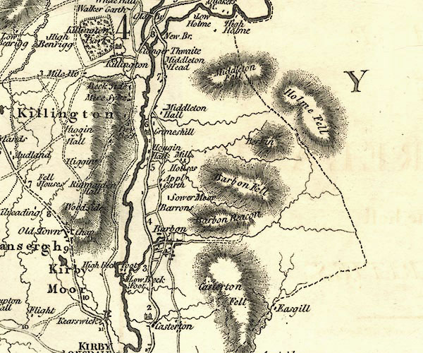
old map:- Cary 1789 (edn 1805)
placename:- Grimeshill
|
| source data:- |
Map, uncoloured engraving, Westmoreland, scale about 2.5 miles
to 1 inch, by John Cary, London, 1789; edition 1805.

CY24SD68.jpg
"Grimeshill"
house symbol; large house
item:- JandMN : 129
Image © see bottom of page
|
|
|
| evidence:- |
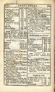
road book:- Cary 1798 (2nd edn 1802)
placename:- Grimeshill
|
| source data:- |
Road book, itineraries, Cary's New Itinerary, by John Cary, 181
Strand, London, 2nd edn 1802.
 goto source goto source
 click to enlarge click to enlarge
C38659.jpg
page 659-660 "Between Casterton and Sedbergh, on l. is Grimeshill, Wm. Moore, Esq. ..."
item:- JandMN : 228.2
Image © see bottom of page
|
|
|
| evidence:- |
descriptive text:- Otley 1823 (8th edn 1849)
placename:- Grimeshill
|
| source data:- |
Guide book, A Concise Description of the English Lakes, the
mountains in their vicinity, and the roads by which they may be
visited, with remarks on the mineralogy and geology of the
district, by Jonathan Otley, published by the author, Keswick,
Cumberland now Cumbria, by J Richardson, London, and by Arthur
Foster, Kirkby Lonsdale, Cumbria, 1823; published 1823-49,
latterly as the Descriptive Guide to the English Lakes.
 goto source goto source
Page 188:- "..."
"Four miles further [ie beyond Casterton from Kirkby Lonsdale], on the left, is Grimeshill,
the residence of Wm. Moore, Esq., the representative of ancient Westmorland family;
..."
|
|
|
| evidence:- |
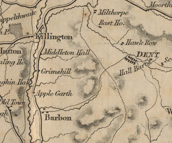
old map:- Ford 1839 map
placename:- Grimshill
|
| source data:- |
Map, uncoloured engraving, Map of the Lake District of
Cumberland, Westmoreland and Lancashire, scale about 3.5 miles
to 1 inch, published by Charles Thurnam, Carlisle, and by R
Groombridge, 5 Paternoster Row, London, 3rd edn 1843.

FD02SD68.jpg
"Grimshill"
item:- JandMN : 100.1
Image © see bottom of page
|
|
|


 goto source
 click to enlarge
 goto source
