Old Cumbria Gazetteer
 |
 |
|
||
| Dockernook Gill | ||||
| runs into:- |  Sprint, River Sprint, River |
|||
|
|
||||
| Docker Nook Gill | ||||
| civil parish:- | Longsleddale (formerly Westmorland) | |||
| civil parish:- | Over Staveley (formerly Westmorland) | |||
| county:- | Cumbria | |||
| locality type:- | river | |||
| 1Km square:- | NY5001 (etc) | |||
| 10Km square:- | NY50 | |||
| 10Km square:- | NY40 | |||
|
|
||||
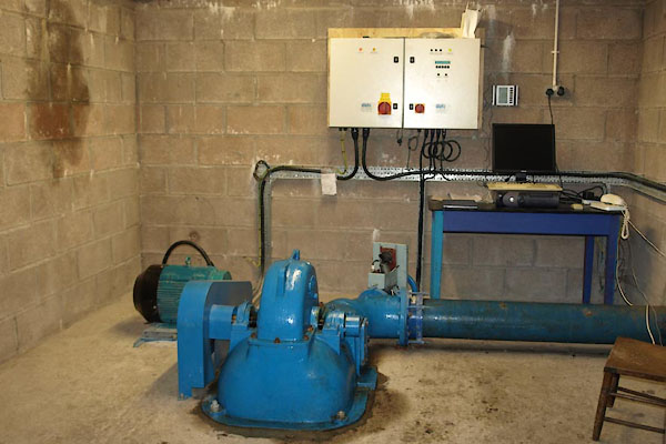
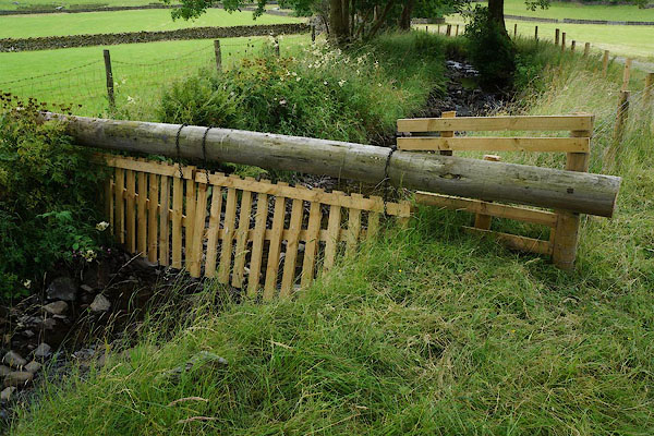
 BTZ29.jpg Near the bridge, (taken 1.2.2011) 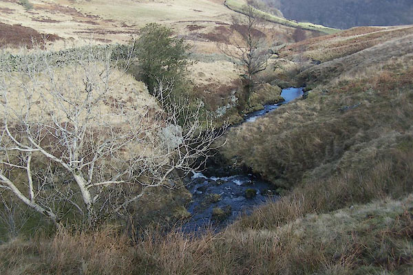 BTZ30.jpg (taken 1.2.2011) |
||||
|
|
||||
| evidence:- | old map:- OS County Series (Wmd 27 15) placename:- Dockernook Gill |
|||
| source data:- | Maps, County Series maps of Great Britain, scales 6 and 25
inches to 1 mile, published by the Ordnance Survey, Southampton,
Hampshire, from about 1863 to 1948. OS County Series (Wmd 27 16) OS County Series (Wmd 33 3) |
|||
|
|
||||
| evidence:- | old map:- Jefferys 1770 (Wmd) |
|||
| source data:- | Map, 4 sheets, The County of Westmoreland, scale 1 inch to 1
mile, surveyed 1768, and engraved and published by Thomas
Jefferys, London, 1770.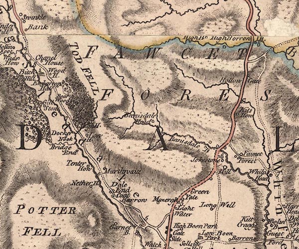 J5NY50SW.jpg single or double wiggly line; river item:- National Library of Scotland : EME.s.47 Image © National Library of Scotland |
|||
|
|
||||
| evidence:- | map:- OS Six Inch (1956) placename:- Dockernook Gill |
|||
| source data:- | Map series, various editions with the national grid, scale about
6 inches to 1 mile, published by the Ordnance Survey,
Southampton, Hampshire, scale 1 to 10560 from 1950s to 1960s,
then 1 to 10000 from 1960s to 2000s, superseded by print on
demand from digital data.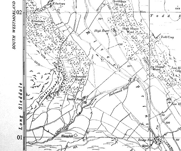 SINY5001.jpg "Dockernook Gill" |
|||
|
|
||||
| evidence:- | map:- OS Six Inch (1956) placename:- Dockernook Gill |
|||
| source data:- | Map series, various editions with the national grid, scale about
6 inches to 1 mile, published by the Ordnance Survey,
Southampton, Hampshire, scale 1 to 10560 from 1950s to 1960s,
then 1 to 10000 from 1960s to 2000s, superseded by print on
demand from digital data.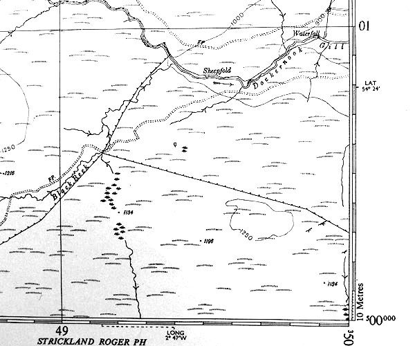 SINY4900.jpg "Dockernook Gill" |
|||
|
|
||||
| places:- |
|
|||
|
||||
|
||||
|
||||
Lakes Guides menu.