 |
 |
   |
|
|
|
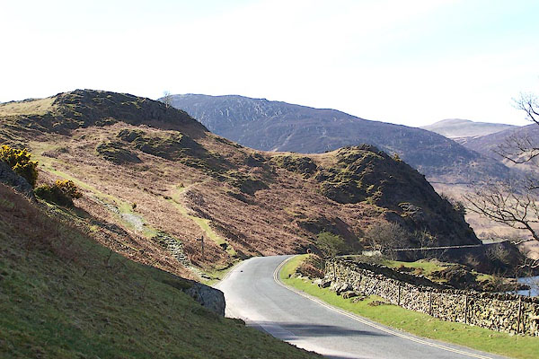
Buttermere Hause |
| locality:- |
Rannerdale Knotts |
| civil parish:- |
Buttermere (formerly Cumberland) |
| county:- |
Cumbria |
| locality type:- |
headland |
| coordinates:- |
NY16281820 (etc) |
| 1Km square:- |
NY1618 |
| 10Km square:- |
NY11 |
| SummaryText:- |
A hause is a neck of land. |
|
|
|
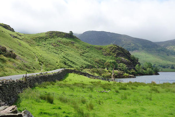
CAY03.jpg (taken 11.6.2014)
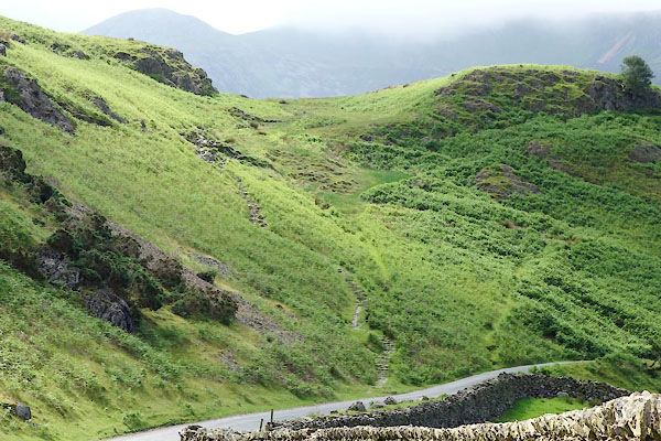
CAY04.jpg The zigzag path starting right of centre is the old road, a new footpath laid with
stones is more direct; both paths take a route above two humps in the hause.
(taken 11.6.2014)
|
|
|
| evidence:- |
old map:- OS County Series (Cmd 69 2)
placename:- Buttermere Hause
|
| source data:- |
Maps, County Series maps of Great Britain, scales 6 and 25
inches to 1 mile, published by the Ordnance Survey, Southampton,
Hampshire, from about 1863 to 1948.
|
|
|
| evidence:- |
old map:- Gents Mag 1751
placename:- Buttermeerhause
|
| source data:- |
Map, uncoloured engraving, Map of the Black Lead Mines in
Cumberland, and area, scale about 2 miles to 1 inch, by George
Smith, published in the Gentleman's Magazine, 1751.
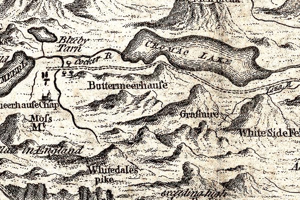
GM1306.jpg
"Buttermeerhause"
gap between knobbly hillocks; mountainsls
item:- JandMN : 114
Image © see bottom of page
|
|
|
| evidence:- |
old map:- Donald 1774 (Cmd)
placename:- Buttermire Hause
|
| source data:- |
Map, hand coloured engraving, 3x2 sheets, The County of Cumberland, scale about 1
inch to 1 mile, by Thomas Donald, engraved and published by Joseph Hodskinson, 29
Arundel Street, Strand, London, 1774.
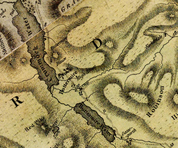
D4NY11NE.jpg
"Buttermire Hause"
hill hachuring; a hill or mountain
item:- Carlisle Library : Map 2
Image © Carlisle Library |
|
|
| evidence:- |
descriptive text:- West 1778 (11th edn 1821)
placename:- Randon Knot
placename:- Buttermere Hawse
|
| source data:- |
Guide book, A Guide to the Lakes, by Thomas West, published by
William Pennington, Kendal, Cumbria once Westmorland, and in
London, 1778 to 1821.
 goto source goto source
Page 138:- "..."
"... A fine expanse of water [Crummock Water] sweeps away to the right under a rocky
promontory, Randon-knot, or Buttermere-hawse. The road then serpentizes round the
rock, and under a rugged, pyramidal, craggy mountain. ..."
|
|
|
| evidence:- |
probably old map:- Ford 1839 map
placename:- Buttermere House
|
| source data:- |
Map, uncoloured engraving, Map of the Lake District of
Cumberland, Westmoreland and Lancashire, scale about 3.5 miles
to 1 inch, published by Charles Thurnam, Carlisle, and by R
Groombridge, 5 Paternoster Row, London, 3rd edn 1843.
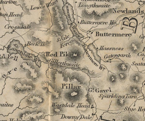
FD02NY11.jpg
"Buttermere Ho."
item:- JandMN : 100.1
Image © see bottom of page
|
|
|
|
BLY26.jpg (taken 24.4.2006)
|
|
|


 goto source

