 Old Cumbria Gazetteer
 |
 |
|
| bridge, Orton | ||
| site name:- | Chapel Beck (2) | |
| locality:- | Orton | |
| civil parish:- | Orton S (formerly Westmorland) | |
| county:- | Cumbria | |
| locality type:- | bridge | |
| locality type:- | packhorse bridge (?) | |
| coordinates:- | NY62400798 | |
| 1Km square:- | NY6207 | |
| 10Km square:- | NY60 | |
|
|
||
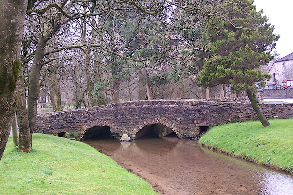 BNL66.jpg (taken 30.3.2007) 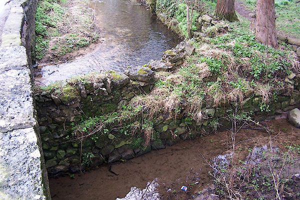 BNL67.jpg The stream below the bridge is divided, part being sent off into the grounds of Orton Hall. (taken 30.3.2007) |
||
|
|
||
| evidence:- | old map:- Bowen and Kitchin 1760 |
|
| source data:- | Map, hand coloured engraving, A New Map of the Counties of
Cumberland and Westmoreland Divided into their Respective Wards,
scale about 4 miles to 1 inch, by Emanuel Bowen and Thomas
Kitchin et al, published by T Bowles, Robert Sayer, and John
Bowles, London, 1760.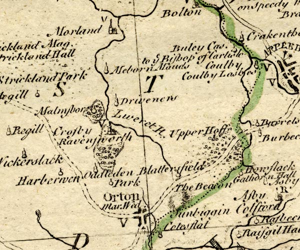 BO18NY51.jpg road across Chapel Beck item:- Armitt Library : 2008.14.10 Image © see bottom of page |
|
|
|
||
| :- |
Local access from village to fields? |
|
| Hinchcliffe, Ernest: 1994: Packhorse Bridges of England: Cicerone Press (Milnthorpe,
Cumbria) |
||
|
|
||
 Lakes Guides menu.