 Old Cumbria Gazetteer
 |
 |
|
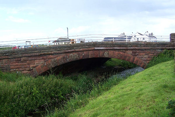
| bridge, Allonby | ||
| Allonby Bridge | ||
| site name:- | Allonby Beck | |
| locality:- | Allonby | |
| civil parish:- | Allonby (formerly Cumberland) | |
| county:- | Cumbria | |
| locality type:- | bridge | |
| coordinates:- | NY08124289 | |
| 1Km square:- | NY0842 | |
| 10Km square:- | NY04 | |
|
|
||
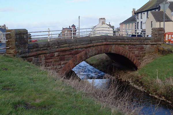 BZU59.jpg (taken 7.2.2014) 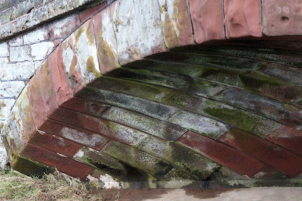 BZU60.jpg Extremely skew stonework. (taken 7.2.2014) |
||
|
|
||
| evidence:- | old map:- Bell 1892 placename:- Allonby Bridge |
|
| source data:- | Map, colour lithograph, Road Map of Cumberland, by George Joseph
Bell, scale about 2.5 miles to 1 inch, printed by Charles
Thurnam and Sons, Carlisle, Cumberland, 1892.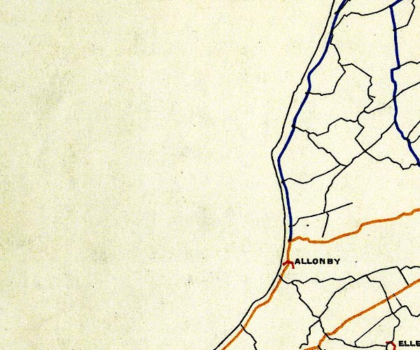 BEL9NY04.jpg "ALLONBY" bridge symbol Road map of Cumberland showing County Bridges item:- Carlisle Library : Map 38 Image © Carlisle Library |
|
|
|
||
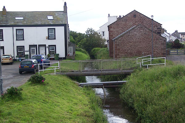 BNV69.jpg View of river. (taken 20.6.2007) |
||
|
|
||
 BNV67.jpg (taken 20.6.2007) |
||
|
|
||
| hearsay:- |
It is said that this bridge was built to replace an earlier iron bridge. The earlier
bridge which collapsed under a traction engine, which was tipped into the stream. |
|
|
|
||
 Lakes Guides menu.