 Old Cumbria Gazetteer
 |
 |
|
| Bread and Beer House, Brigham | ||
| locality:- | Dovenby | |
| civil parish:- | Brigham (formerly Cumberland) | |
| county:- | Cumbria | |
| locality type:- | buildings | |
| locality type:- | inn (? ex) | |
| coordinates:- | NY09083092 | |
| 1Km square:- | NY0930 | |
| 10Km square:- | NY03 | |
|
|
||
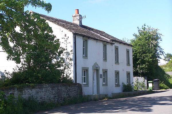 BNQ18.jpg (taken 14.5.2007) |
||
|
|
||
| evidence:- | old map:- OS County Series (Cmd 54 3) placename:- Bread and Beer House |
|
| source data:- | Maps, County Series maps of Great Britain, scales 6 and 25
inches to 1 mile, published by the Ordnance Survey, Southampton,
Hampshire, from about 1863 to 1948. |
|
|
|
||
 Lakes Guides menu.