 Old Cumbria Gazetteer
 |
 |
|
| Bowthwaite Bridge, Whitwell and Selside | ||
| Bowthwaite Bridge | ||
| site name:- | Light Water | |
| civil parish:- | Whitwell and Selside (formerly Westmorland) | |
| county:- | Cumbria | |
| locality type:- | bridge | |
| coordinates:- | SD54389813 | |
| 1Km square:- | SD5498 | |
| 10Km square:- | SD59 | |
|
|
||
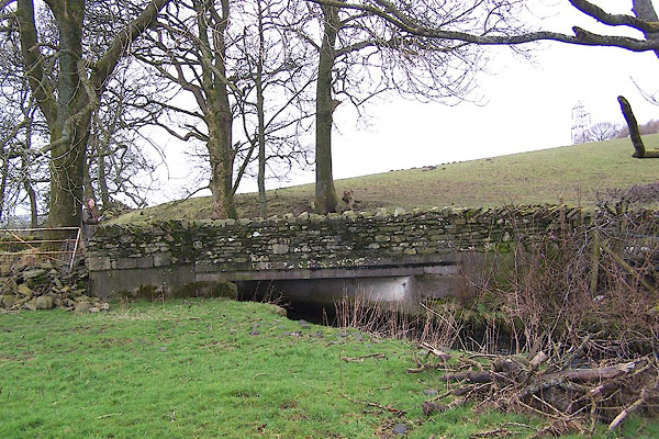 BNG93.jpg (taken 2.3.2007) 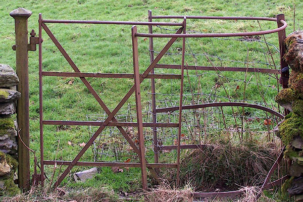 BNG95.jpg Kising gate by the bridge. (taken 2.3.2007) |
||
|
|
||
| evidence:- | old map:- OS County Series (Wmd 34 5) placename:- Bowthwaite Bridge |
|
| source data:- | Maps, County Series maps of Great Britain, scales 6 and 25
inches to 1 mile, published by the Ordnance Survey, Southampton,
Hampshire, from about 1863 to 1948. |
|
|
|
||
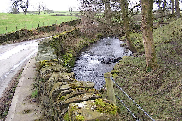 BNG94.jpg View of river. (taken 2.3.2007) |
||
|
|
||
 Lakes Guides menu.