 |
 |
   |
|
|
|
Woolpack Inn |
| locality:- |
Dawson Ground |
| civil parish:- |
Eskdale (formerly Cumberland) |
| county:- |
Cumbria |
| locality type:- |
inn |
| coordinates:- |
NY19030100 |
| 1Km square:- |
NY1901 |
| 10Km square:- |
NY10 |
|
|
|
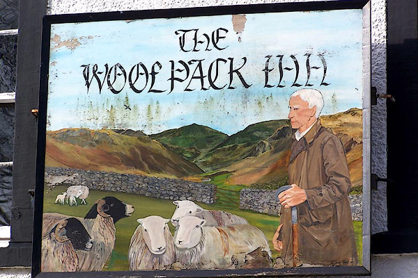
BNJ52.jpg (taken 14.3.2007)
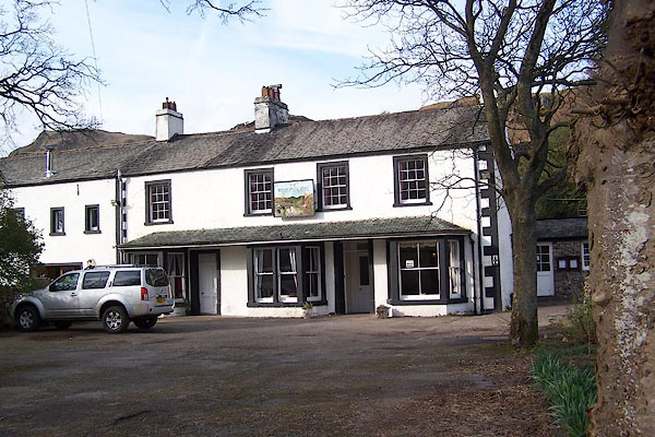
BNJ51.jpg (taken 14.3.2007)
|
|
|
| evidence:- |
old map:- OS County Series (Cmd 79 15)
placename:- Dawson Ground
placename:- Woolpack Inn
|
| source data:- |
Maps, County Series maps of Great Britain, scales 6 and 25
inches to 1 mile, published by the Ordnance Survey, Southampton,
Hampshire, from about 1863 to 1948.
"Dawson Ground (Woolpack Inn)"
|
|
|
| evidence:- |
old map:- Donald 1774 (Cmd)
placename:- Dawson Ground
|
| source data:- |
Map, hand coloured engraving, 3x2 sheets, The County of Cumberland, scale about 1
inch to 1 mile, by Thomas Donald, engraved and published by Joseph Hodskinson, 29
Arundel Street, Strand, London, 1774.
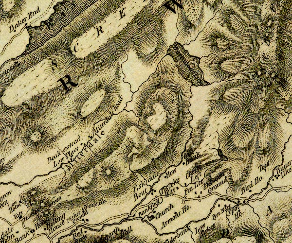
D4NY10SE.jpg
"Dawson Ground"
block or blocks, labelled in lowercase; a hamlet or just a house
item:- Carlisle Library : Map 2
Image © Carlisle Library |
|
|
| evidence:- |
descriptive text:- Otley 1823 (5th edn 1834)
placename:- Wool Pack
|
| source data:- |
Guide book, A Concise Description of the English Lakes, the
mountains in their vicinity, and the roads by which they may be
visited, with remarks on the mineralogy and geology of the
district, by Jonathan Otley, published by the author, Keswick,
Cumberland now Cumbria, by J Richardson, London, and by Arthur
Foster, Kirkby Lonsdale, Cumbria, 1823; published 1823-49,
latterly as the Descriptive Guide to the English Lakes.
 goto source goto source
Page 108:- "... about a mile and a half down the valley is a public-house, formerly the sign of
the Wool Pack, about 15 miles from Ambleside."
|
|
|
|
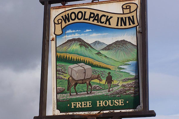
BNJ53.jpg (taken 14.3.2007)
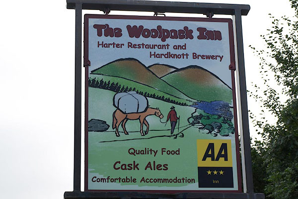
BRK56.jpg New designer innsign.
(taken 14.9.2009)
BRK57.jpg New designer sign over the entrance to the bar..
(taken 14.9.2009)
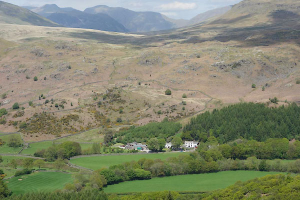
CDE96.jpg (taken 4.6.2015)
|
|
|


 goto source


