 |
 |
   |
|
|
|
Globe Inn |
| Street:- |
Main Street |
| locality:- |
Hensingham |
| locality:- |
Whitehaven |
| civil parish:- |
Whitehaven (formerly Cumberland) |
| county:- |
Cumbria |
| locality type:- |
inn |
| coordinates:- |
NX98651680 |
| 1Km square:- |
NX9816 |
| 10Km square:- |
NX91 |
|
|
|

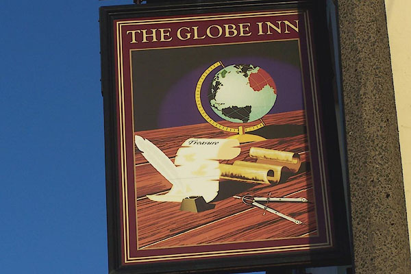
BNC95.jpg Innsign, a modern globe, compasses, and a treasure chart.
(taken 2.1.2007)

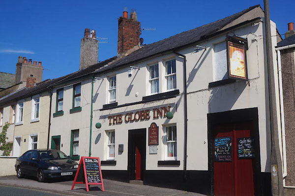
CDK69.jpg (taken 23.6.2015)
|
|
The graphics arts innsign has now faded.
|
|
|
| evidence:- |
old map:- OS County Series (Cmd 67 6)
placename:- Globe Inn
|
| source data:- |
Maps, County Series maps of Great Britain, scales 6 and 25
inches to 1 mile, published by the Ordnance Survey, Southampton,
Hampshire, from about 1863 to 1948.
|
|
|
| evidence:- |
database:- Listed Buildings 2010
|
| source data:- |
courtesy of English Heritage
"/ 89, 90, 92 ,93, 94, 95 / MAIN STREET / WHITEHAVEN / COPELAND / CUMBRIA / II / 76008
/ NX9867416816"
|
|
|


 Lakes Guides menu.