 Old Cumbria Gazetteer
 |
 |
|
| Dunald Mill, Lancashire | ||
| Dunald Mill | ||
| county:- | Lancashire | |
| locality type:- | water mill | |
| locality type:- | mill | |
| coordinates:- | SD516676 (?) | |
| 1Km square:- | SD5167 | |
| 10Km square:- | SD56 | |
|
|
||
| evidence:- | probably old map:- Otley 1818 |
|
| source data:- | Map, uncoloured engraving, The District of the Lakes,
Cumberland, Westmorland, and Lancashire, scale about 4 miles to
1 inch, by Jonathan Otley, 1818, engraved by J and G Menzies,
Edinburgh, Scotland, published by Jonathan Otley, Keswick,
Cumberland, et al, 1833.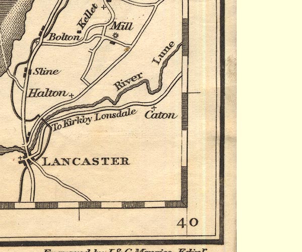 OT02SD56.jpg Marked by a rayed wheel. item:- JandMN : 48.1 Image © see bottom of page |
|
|
|
||
 Lakes Guides menu.