 Old Cumbria Gazetteer
 |
 |
|
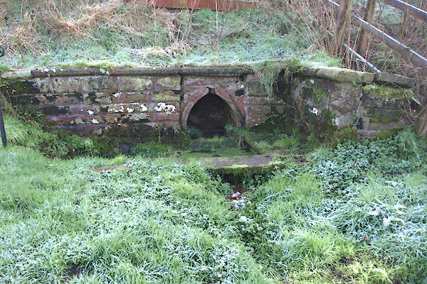
| St Michael's Well, Arthuret | ||
| St Michael's Well | ||
| civil parish:- | Arthuret (formerly Cumberland) | |
| county:- | Cumbria | |
| locality type:- | well | |
| locality type:- | spring | |
| coordinates:- | NY37896775 | |
| 1Km square:- | NY3767 | |
| 10Km square:- | NY36 | |
|
|
||
 BMQ10.jpg (taken 15.9.2006) 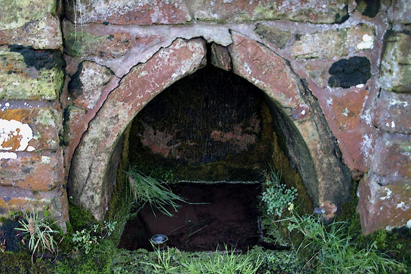 BXU67.jpg (taken 29.1.2013) |
||
|
|
||
| evidence:- | old map:- OS County Series (Cmd 10) placename:- St Michael's Well |
|
| source data:- | Maps, County Series maps of Great Britain, scales 6 and 25
inches to 1 mile, published by the Ordnance Survey, Southampton,
Hampshire, from about 1863 to 1948. "St. Michael's Well" |
|
|
|
||
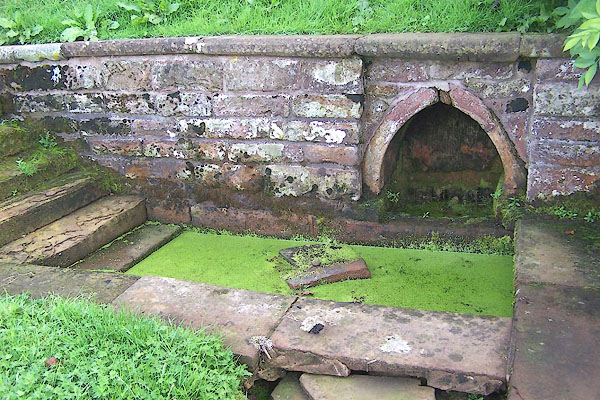
| evidence:- | database:- Listed Buildings 2010 placename:- St Michael's Well |
|
| source data:- | courtesy of English Heritage "ST MICHAEL'S WELL, NORTH WEST OF CHURCH OF ST MICHAEL / / / ARTHURET / CARLISLE / CUMBRIA / II / 78091 / NY3789967755" |
|
| source data:- | courtesy of English Heritage "Holy well. Probably early C17. Red sandstone. Small pointed-arched well head with recessed bowl; retaining wall with steps down to paving and sunken stone trough. Completely overgrown at the time of resurvey. See, Transactions Cumberland & Westmorland Antiquarian &Archaeological Society, new series, vol lxvi, pp.179-189." |
|
|
|
||
 BXU66.jpg (taken 29.1.2013)  BXU68.jpg (taken 29.1.2013) |
||
|
|
||
 Lakes Guides menu.