 Old Cumbria Gazetteer
 |
 |
|
| Sella, Dunnerdale-with-Seathwaite | ||
| Sella | ||
| Sella Farm | ||
| locality:- | Ulpha | |
| civil parish:- | Dunnerdale-with-Seathwaite (formerly Lancashire) | |
| county:- | Cumbria | |
| locality type:- | buildings | |
| coordinates:- | SD19629257 | |
| 1Km square:- | SD1992 | |
| 10Km square:- | SD19 | |
|
|
||
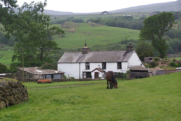 BMG28.jpg (taken 12.6.2006) 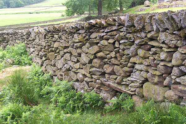 BMG29.jpg Stone wall. (taken 12.6.2006) |
||
|
|
||
| evidence:- | old map:- OS County Series (Lan 3 15) placename:- Sella |
|
| source data:- | Maps, County Series maps of Great Britain, scales 6 and 25
inches to 1 mile, published by the Ordnance Survey, Southampton,
Hampshire, from about 1863 to 1948. |
|
|
|
||
| evidence:- | old map:- Donald 1774 (Cmd) placename:- Sallow |
|
| source data:- | Map, hand coloured engraving, 3x2 sheets, The County of Cumberland, scale about 1
inch to 1 mile, by Thomas Donald, engraved and published by Joseph Hodskinson, 29
Arundel Street, Strand, London, 1774.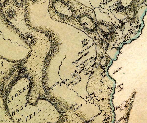 D4SD19SE.jpg "Sallow" block or blocks, labelled in lowercase; a hamlet or just a house item:- Carlisle Library : Map 2 Image © Carlisle Library |
|
|
|
||
 BMG30.jpg Stone wall. (taken 12.6.2006) 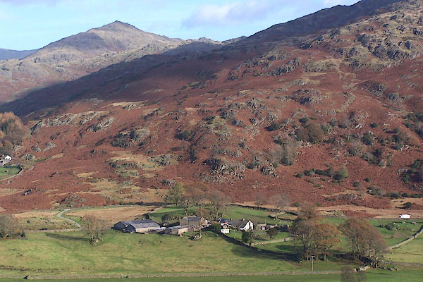 BOI42.jpg (taken 6.11.2007) |
||
|
|
||
 Lakes Guides menu.