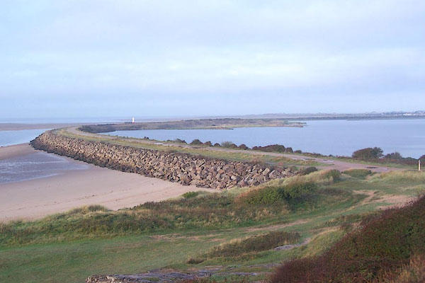


BMV20.jpg (taken 13.10.2006)
placename:- Hodbarrow Point
 goto source
Page 383:- "... a small promontory [Hodbarrow Point] on which an extensive red hematite iron mine is worked. A sea wall, about a mile long, has been constructed on the southern side of this promontory, to enable the mining to be carried on under the sea bed. There are depths of 20 feet (6m1) alongside this wall at high water springs, but it is fully exposed to the prevailing wind and the sea breaks over it with violence at times."
