 Old Cumbria Gazetteer
 |
 |
|
| High Gelt Bridge, Castle Carrock | ||
| High Gelt Bridge | ||
| site name:- | Gelt, River | |
| civil parish:- | Castle Carrock (formerly Cumberland) | |
| civil parish:- | Hayton (formerly Cumberland) | |
| county:- | Cumbria | |
| locality type:- | bridge | |
| coordinates:- | NY54155619 | |
| 1Km square:- | NY5456 | |
| 10Km square:- | NY55 | |
|
|
||
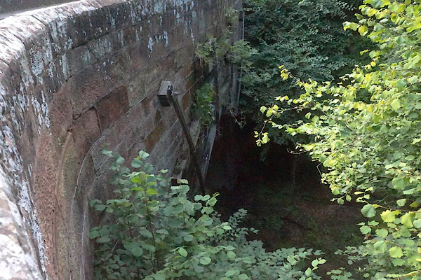 CBG42.jpg (taken 28.7.2014) 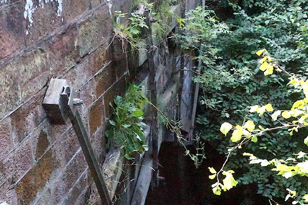 CBG43.jpg (taken 28.7.2014) |
||
| Nt easy to see this bridge, which appears to be seriously shored up. |
||
|
|
||
| evidence:- | old map:- OS County Series (Cmd 25 1) placename:- High Gelt Bridge placename:- Gelt Bridge, High |
|
| source data:- | Maps, County Series maps of Great Britain, scales 6 and 25
inches to 1 mile, published by the Ordnance Survey, Southampton,
Hampshire, from about 1863 to 1948. |
|
|
|
||
| evidence:- | old map:- Bell 1892 placename:- Gelt High Bridge |
|
| source data:- | Map, colour lithograph, Road Map of Cumberland, by George Joseph
Bell, scale about 2.5 miles to 1 inch, printed by Charles
Thurnam and Sons, Carlisle, Cumberland, 1892. BEL9NY55.jpg "GELT HIGH" bridge symbol Road map of Cumberland showing County Bridges item:- Carlisle Library : Map 38 Image © Carlisle Library |
|
|
|
||
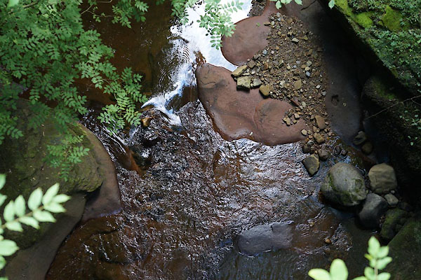 CBG45.jpg View of river. From High Gelt Bridge, (taken 28.7.2014) 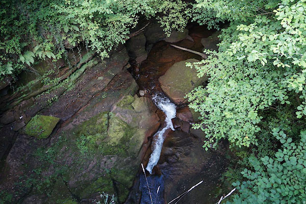 CBG44.jpg View of river. From High Gelt Bridge, (taken 28.7.2014) 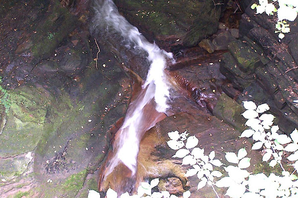 BMM62.jpg View of river. From High Gelt Bridge; a dry summer. (taken 11.8.2006) |
||
|
|
||
 Lakes Guides menu.