


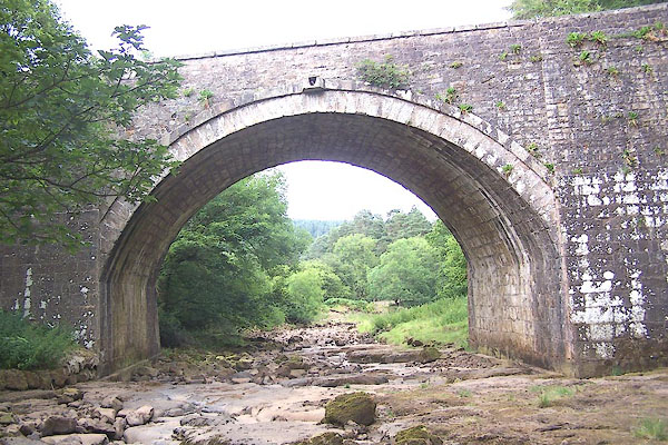
BML69.jpg (taken 29.7.2006)
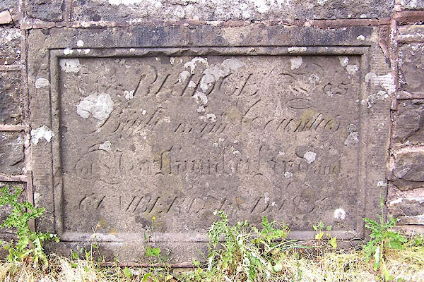
BML70.jpg Incribed stone in the east parapet:-
"This BRIDGE was Built BY THE Counties of Northumberland and CUMBERLAND 185[ ]" (taken 29.7.2006)
placename:- Gilderdale Bridge
placename:- Gilderdale Bridge
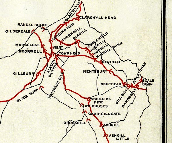
BEL9NY74.jpg
"GILDERDALE"
bridge symbol; on county boundary
Road map of Cumberland showing County Bridges
item:- Carlisle Library : Map 38
Image © Carlisle Library
placename:- Gilderdale Bridge
courtesy of English Heritage
"GILDERDALE BRIDGE / / A689 / ALSTON MOOR / EDEN / CUMBRIA / II / 73090 / NY7021548398"
courtesy of English Heritage
"Bridge, dated 1830. Coursed, squared rubble with flat copings; curved lead-ups have low end piers with chamfered capstones. Single, tall, segmental arch with pilaster buttresses to either side. Panel to centre of each parapet on inner faces has dated inscription: This BRIDGE was Built BY THE Counties of Northumberland &Cumberland 1830. Crosses county boundary with Northumberland."
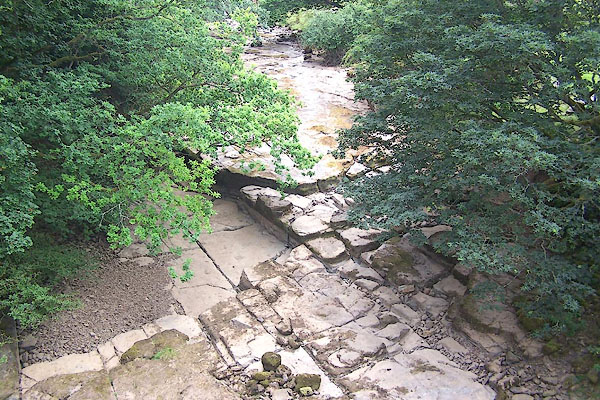
BML73.jpg View of river.
(taken 29.7.2006)
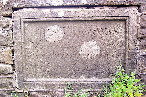
BML71.jpg Inscribed stone in the west parapet:-
"THIS Bridge WAS Built [BY THE] Counties [ ] NORTHUMBERLAND [ ] Cumberland 185[6]" (taken 29.7.2006)
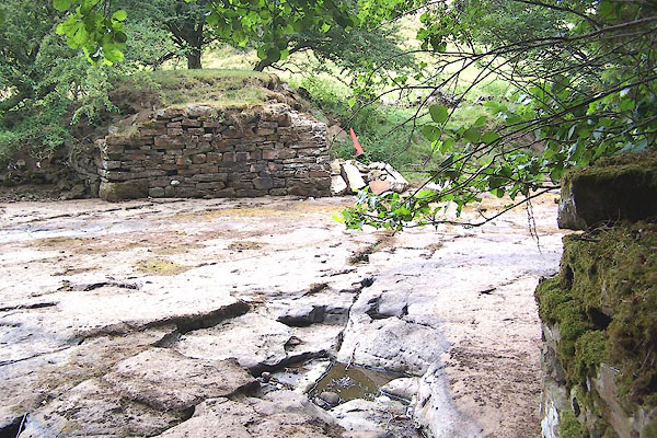
BML72.jpg Footings of an earlier bridge, a short way above the present bridge; in a drought.
(taken 29.7.2006)

 Lakes Guides menu.