 Old Cumbria Gazetteer
 |
 |
|
| boat house, Martindale | ||
| site name:- | Waternook (?) | |
| site name:- | Ullswater | |
| locality:- | Howtown | |
| civil parish:- | Martindale (formerly Westmorland) | |
| county:- | Cumbria | |
| locality type:- | boat house | |
| coordinates:- | NY43992003 | |
| 1Km square:- | NY4320 | |
| 10Km square:- | NY42 | |
|
|
||
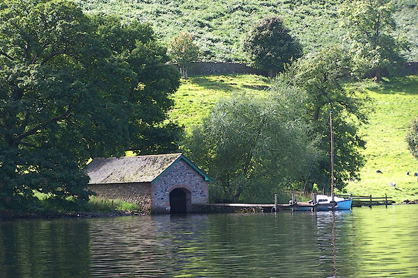 BNZ83.jpg (taken 24.8.2007) 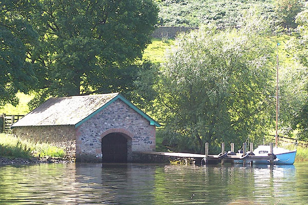 BNZ84.jpg (taken 24.8.2007) |
||
|
|
||
| evidence:- | probably old map:- Ford 1839 map |
|
| source data:- | Map, uncoloured engraving, Map of the Lake District of
Cumberland, Westmoreland and Lancashire, scale about 3.5 miles
to 1 inch, published by Charles Thurnam, Carlisle, and by R
Groombridge, 5 Paternoster Row, London, 3rd edn 1843.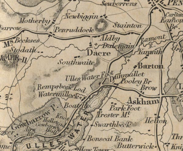 FD02NY42.jpg "Boat Ho." Near Watermillock. item:- JandMN : 100.1 Image © see bottom of page |
|
|
|
||
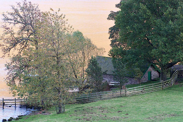 BMY31.jpg (taken 2.11.2006) |
||
|
|
||
 Lakes Guides menu.