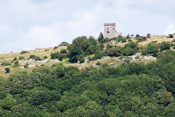


BMK02.jpg (taken 11.7.2006)
placename:- Kirkhead Summer House
"Kirkhead Summer House"
placename:- Kirkhead Summer House
courtesy of English Heritage
"KIRKHEAD SUMMER HOUSE / / KIRKHEAD ROAD / LOWER ALLITHWAITE / SOUTH LAKELAND / CUMBRIA / II / 76986 / SD3926775626"
courtesy of English Heritage
"Summerhouse. Cl9. Stone rubble. Square tower of 2 stages. Projecting embattled parapet with large stones at angles; lead spout to east. West face has pointed window opening, similar opening to east has remains of shutter and sash, and entrance beneath. South face has later stone steps to pointed entrance to 1st floor. Interior has lost floor, no roof. Probably associated with Abbot Hall, Grange U.D. (q.v.)."

 Lakes Guides menu.