Old Cumbria Gazetteer
 |
 |
|
||
| Mill Beck (4) | ||||
| Mill Beck | ||||
| civil parish:- | Barrow-in-Furness (formerly Lancashire) | |||
| county:- | Cumbria | |||
| locality type:- | river | |||
| 1Km square:- | SD2271 (etc) | |||
| 10Km square:- | SD27 | |||
|
|
||||
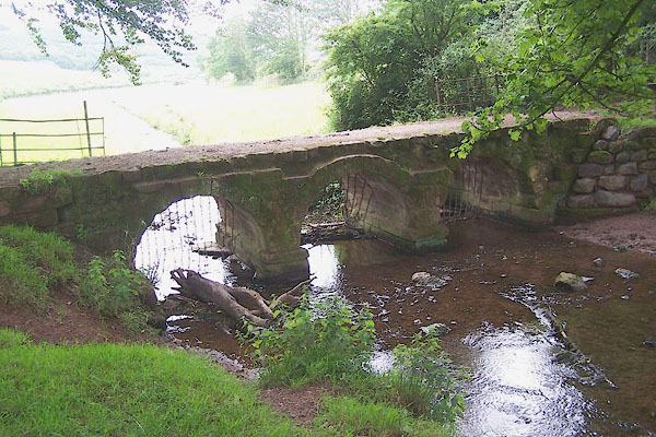
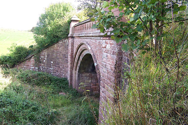
 BMO56.jpg From Millwood Bridge, looking onto the Vale of Nightshade? (taken 30.8.2006)  BMJ51.jpg Near Bow Bridge. (taken 10.7.2006) |
||||
|
|
||||
| evidence:- | old map:- Sanson 1679 |
|||
| source data:- | Map, hand coloured engraving, Ancien Royaume de Northumberland
aujourdhuy Provinces de Nort, ie the Ancient Kingdom of
Northumberland or the Northern Provinces, scale about 9.5 miles
to 1 inch, by Nicholas Sanson, Paris, France, 1679. click to enlarge click to enlargeSAN2Cm.jpg tapering wiggly line; river item:- Dove Cottage : 2007.38.15 Image © see bottom of page |
|||
|
|
||||
| places:- |
|
|||
|
||||
|
||||
|
||||
 Lakes Guides menu.