 Old Cumbria Gazetteer
 |
 |
|
| Tearnside Fold, Tearnside | ||
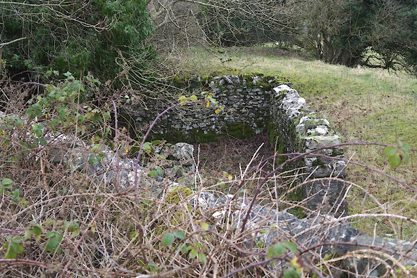
| Tearnside Fold | ||
| locality:- | Tearnside | |
| civil parish:- | Kirkby Lonsdale (formerly Westmorland) | |
| county:- | Cumbria | |
| locality type:- | sheepfold | |
| coordinates:- | SD59027932 (presumably) | |
| 1Km square:- | SD5979 | |
| 10Km square:- | SD57 | |
|
|
||
 CEM16.jpg (taken 1.1.2016) |
||
|
|
||
| evidence:- | old map:- OS County Series (Wmd 47 7) |
|
| source data:- | Maps, County Series maps of Great Britain, scales 6 and 25
inches to 1 mile, published by the Ordnance Survey, Southampton,
Hampshire, from about 1863 to 1948. "Sheepfold" |
|
|
|
||
| :- |
Renewed by Andy Goldsworthy as part of the Sheepfolds project, 1996-2002. |
|
| Where The Arch rested on its journey south. SD591794?? |
||
| : 2002 (?): Andy Goldsworthy Sheepfolds: Cumbria CC (?):: leaflet from TIC www.sheepfolds.org |
||
|
|
||
 Lakes Guides menu.