 Old Cumbria Gazetteer
 |
 |
|
| sheepfold, Brownhowe Bottom (2) | ||
| site name:- | Brownhowe Bottom | |
| civil parish:- | Longsleddale (formerly Westmorland) | |
| county:- | Cumbria | |
| locality type:- | sheepfold | |
| coordinates:- | NY47820847 | |
| 1Km square:- | NY4708 | |
| 10Km square:- | NY40 | |
|
|
||
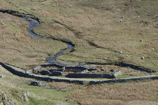 CAK29.jpg (taken 19.4.2014) 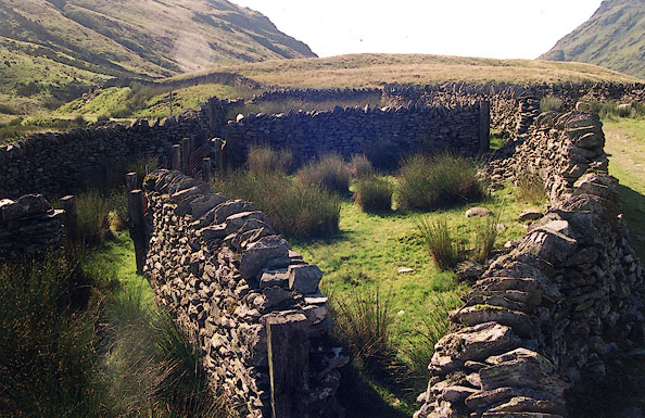 BJD18.jpg (taken 7.9.2004) |
||
|
|
||
| evidence:- | map:- OS Six Inch (1956) |
|
| source data:- | Map series, various editions with the national grid, scale about
6 inches to 1 mile, published by the Ordnance Survey,
Southampton, Hampshire, scale 1 to 10560 from 1950s to 1960s,
then 1 to 10000 from 1960s to 2000s, superseded by print on
demand from digital data.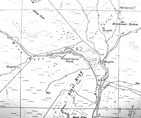 SINY4708.jpg "Sheepfolds" |
|
|
|
||
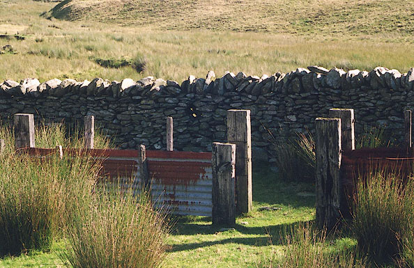 BJD19.jpg (taken 7.9.2004) 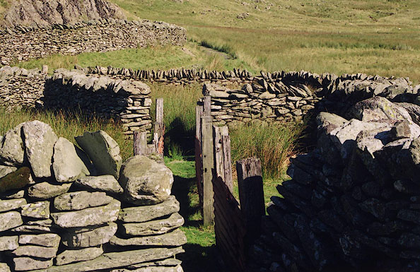 BJD20.jpg (taken 7.9.2004) 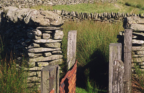 BJD21.jpg (taken 7.9.2004) 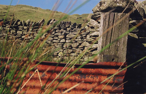 BJD22.jpg (taken 7.9.2004) 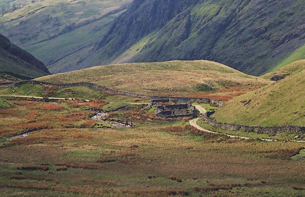 BJN05.jpg (taken 13.5.2005) |
||
|
|
||
 Lakes Guides menu.