 Old Cumbria Gazetteer
 |
 |
|
| Hawk Bridge, Broughton West | ||
| Hawk Bridge | ||
| site name:- | Appletree Worth Beck | |
| civil parish:- | Broughton West (formerly Lancashire) | |
| county:- | Cumbria | |
| locality type:- | bridge | |
| coordinates:- | SD23919195 | |
| 1Km square:- | SD2391 | |
| 10Km square:- | SD29 | |
|
|
||
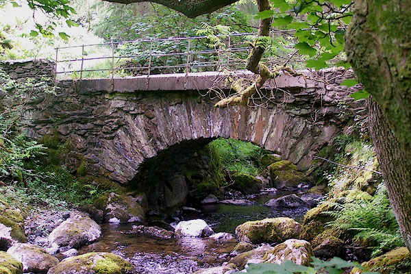 BMG07.jpg (taken 12.6.2006) |
||
|
|
||
| evidence:- | old map:- OS County Series (Lan 7 1) placename:- Hawk Bridge |
|
| source data:- | Maps, County Series maps of Great Britain, scales 6 and 25
inches to 1 mile, published by the Ordnance Survey, Southampton,
Hampshire, from about 1863 to 1948. |
|
|
|
||
| evidence:- | database:- Listed Buildings 2010 placename:- Hawk Bridge |
|
| source data:- | courtesy of English Heritage "HAWK BRIDGE (THAT PART IN BROUGHTON WEST) / / / BROUGHTON WEST / SOUTH LAKELAND / CUMBRIA / II / 75804 / SD2391591949" |
|
| source data:- | courtesy of English Heritage "Bridge over Appletree Worth Beck. Date uncertain, probably C18. Stone rubble. Segmental arch with thin voussoirs. Flat concrete edges to roadway; iron parapet railings." |
|
|
|
||
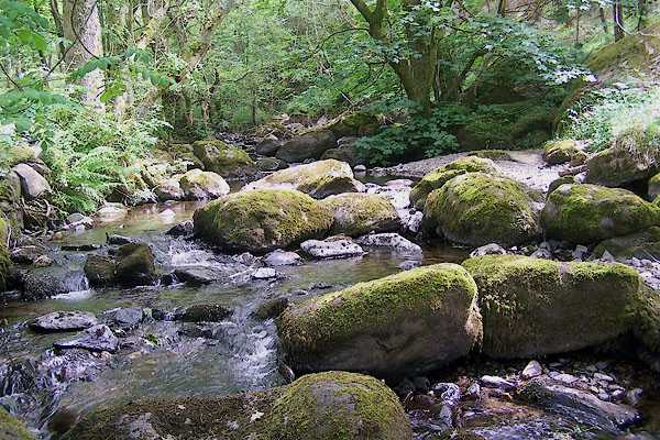 BMG08.jpg View of river. (taken 12.6.2006) |
||
|
|
||
 Lakes Guides menu.