 Old Cumbria Gazetteer
 |
 |
|
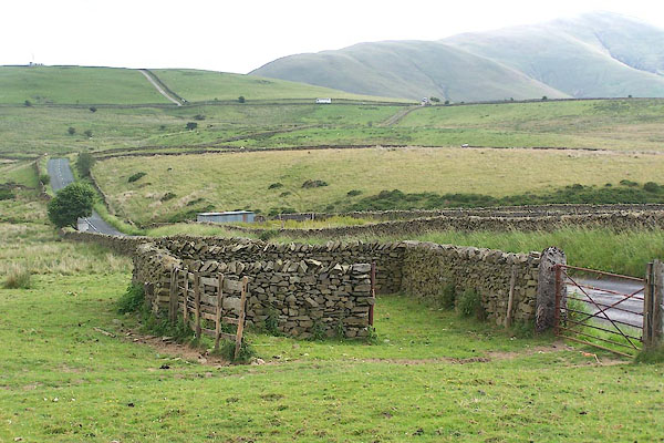
| Grayrigg Common Fold, Grayrigg | ||
| Grayrigg Common Fold | ||
| site name:- | Grayrigg Common | |
| civil parish:- | Grayrigg (formerly Westmorland) | |
| county:- | Cumbria | |
| locality type:- | sheepfold | |
| coordinates:- | SD60569812 | |
| 1Km square:- | SD6098 | |
| 10Km square:- | SD69 | |
|
|
||
 BMH80.jpg (taken 7.7.2006) 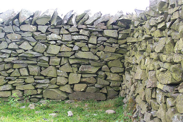 BMH81.jpg (taken 7.7.2006) |
||
|
|
||
| :- |
Renewed by Andy Goldsworthy as part of the Sheepfolds project, 1996-2002. |
|
| Where The Arch rested on its journey south. |
||
| : 2002 (?): Andy Goldsworthy Sheepfolds: Cumbria CC (?):: leaflet from TIC www.sheepfolds.org |
||
|
|
||
 Lakes Guides menu.