 Old Cumbria Gazetteer
 |
 |
|
| Yealand Conyer, Lancashire | ||
| Yealand Conyer | ||
| county:- | Lancashire | |
| locality type:- | buildings | |
| 1Km square:- | SD5074 | |
| 10Km square:- | SD57 | |
|
|
||
| evidence:- | probably old map:- West 1784 map placename:- Yealands |
|
| source data:- | Map, hand coloured engraving, A Map of the Lakes in Cumberland,
Westmorland and Lancashire, scale about 3.5 miles to 1 inch,
engraved by Paas, 53 Holborn, London, about 1784.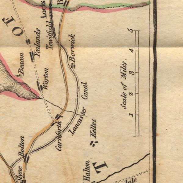 Ws02SD56.jpg item:- Armitt Library : A1221.1 Image © see bottom of page |
|
|
|
||
| evidence:- | old map:- Baker 1802 placename:- Yealands |
|
| source data:- | Perspective road maps with sections in Lancashire, Westmorland
and Cumberland, by J Baker, London 1802. Bk03Vg18.jpg "Yealands" item:- private collection : 3 Image © see bottom of page |
|
|
|
||
| evidence:- | old map:- Otley 1818 placename:- Yealand |
|
| source data:- | Map, uncoloured engraving, The District of the Lakes,
Cumberland, Westmorland, and Lancashire, scale about 4 miles to
1 inch, by Jonathan Otley, 1818, engraved by J and G Menzies,
Edinburgh, Scotland, published by Jonathan Otley, Keswick,
Cumberland, et al, 1833. OT02SD47.jpg item:- JandMN : 48.1 Image © see bottom of page |
|
|
|
||
| evidence:- | possibly old map:- Garnett 1850s-60s H placename:- Yealand |
|
| source data:- | Map of the English Lakes, in Cumberland, Westmorland and
Lancashire, scale about 3.5 miles to 1 inch, published by John
Garnett, Windermere, Westmorland, 1850s-60s. GAR2SD57.jpg "Yealand" blocks, settlement item:- JandMN : 82.1 Image © see bottom of page |
|
|
|
||
| evidence:- | old map:- Burrow 1920s |
|
| source data:- | Road book, On the Road, Dunlop Pictorial Road Plans, volume V,
strip maps with parts in Westmorland, Cumberland etc, irregular
scale about 1.5 miles to 1 inch, by E J Burrow and Co,
Cheltenham, Gloucestershire, 1920s.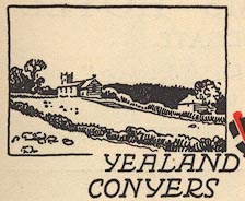 EJB3Vg04.jpg item:- private collection : 17 Image © see bottom of page |
|
|
|
||
 Lakes Guides menu.