 Old Cumbria Gazetteer
 |
 |
|
| Yarlside, Ravenstonedale | ||
| Yarlside | ||
| locality:- | Howgill Fells | |
| civil parish:- | Ravenstonedale (formerly Westmorland) | |
| county:- | Cumbria | |
| locality type:- | hill | |
| coordinates:- | SD68579854 (etc) | |
| 1Km square:- | SD6898 | |
| 10Km square:- | SD69 | |
| altitude:- | 2096 feet | |
| altitude:- | 639m | |
|
|
||
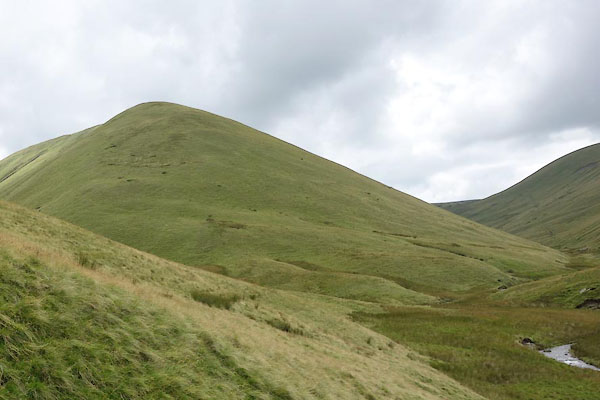 BZA10.jpg (taken 6.8.2013) 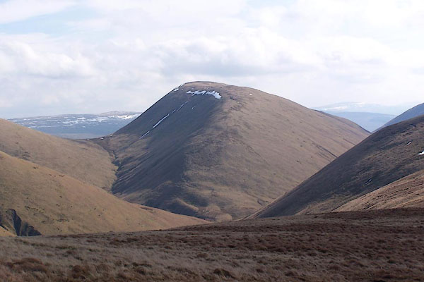 BSH81.jpg (taken 16.3.2010) |
||
|
|
||
| evidence:- | old map:- OS County Series (Wmd 35 7) placename:- Yarlside |
|
| source data:- | Maps, County Series maps of Great Britain, scales 6 and 25
inches to 1 mile, published by the Ordnance Survey, Southampton,
Hampshire, from about 1863 to 1948. |
|
|
|
||
| evidence:- | probably old map:- Jefferys 1770 (Wmd) placename:- Fare Mile |
|
| source data:- | Map, 4 sheets, The County of Westmoreland, scale 1 inch to 1
mile, surveyed 1768, and engraved and published by Thomas
Jefferys, London, 1770.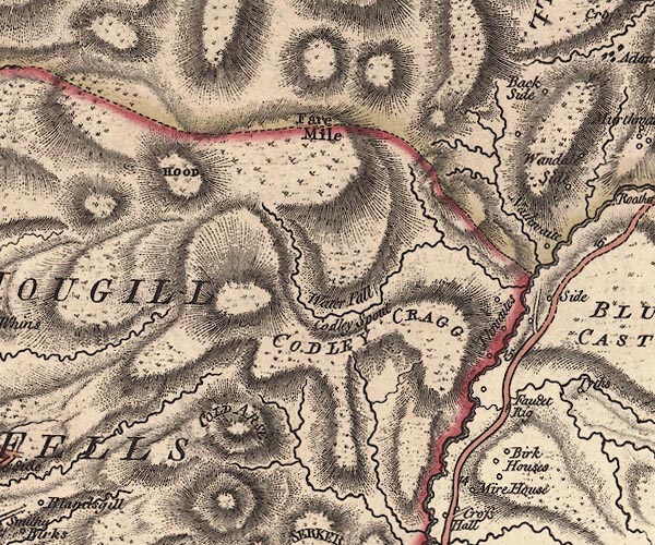 J5SD69NE.jpg "Fare Mile" hill hachuring; hill or mountain, misplaced item:- National Library of Scotland : EME.s.47 Image © National Library of Scotland |
|
|
|
||
| evidence:- | probably old map:- Cary 1789 (edn 1805) placename:- Fare Mile |
|
| source data:- | Map, uncoloured engraving, Westmoreland, scale about 2.5 miles
to 1 inch, by John Cary, London, 1789; edition 1805.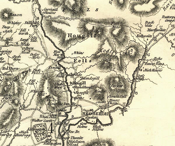 CY24SD69.jpg "Fare Mile" hill hachuring item:- JandMN : 129 Image © see bottom of page |
|
|
|
||
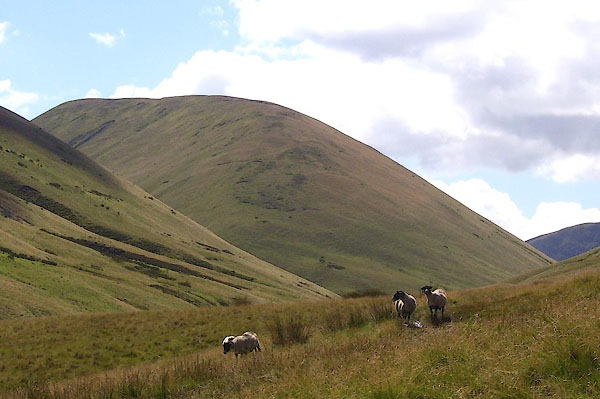 BNX78.jpg (taken 8.8.2007) 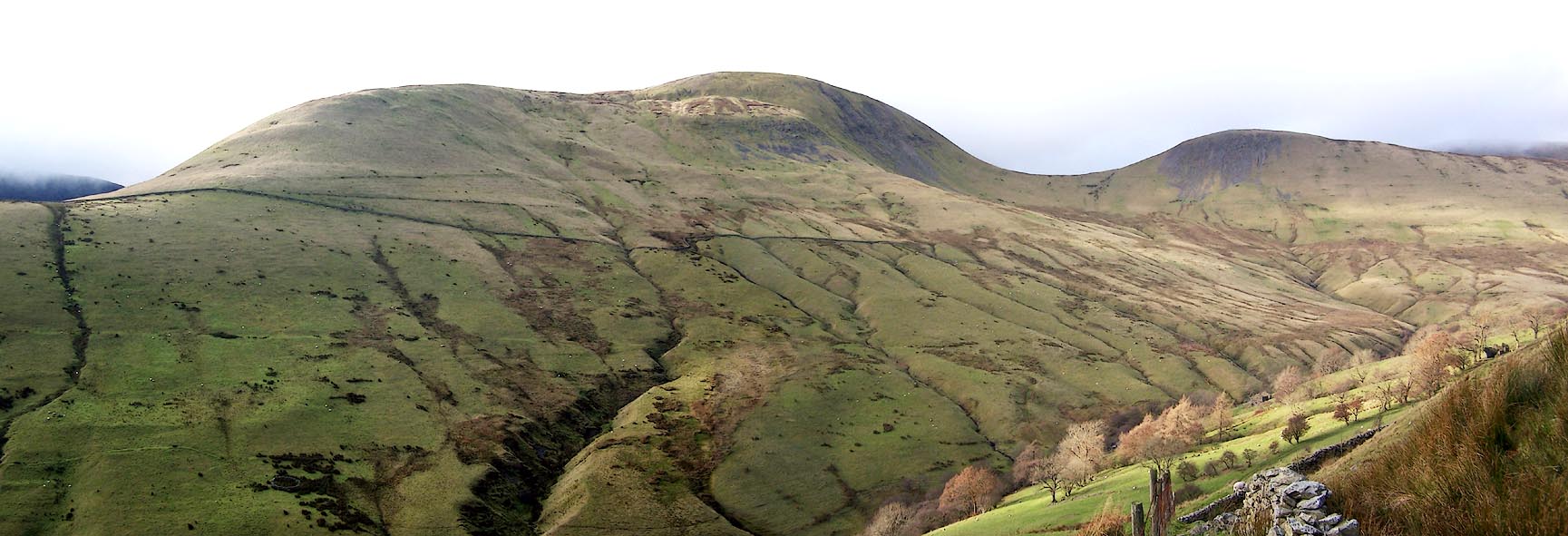 Click to enlarge BPV47.jpg Yarlside, Kensgriff, looking across Westerdale. (taken 19.11.2008) 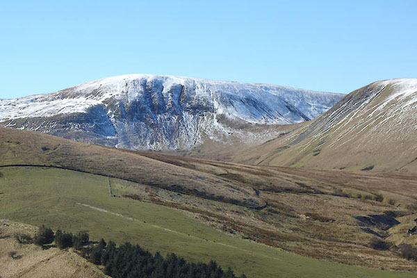 CER33.jpg From NE. (taken 7.3.2016) 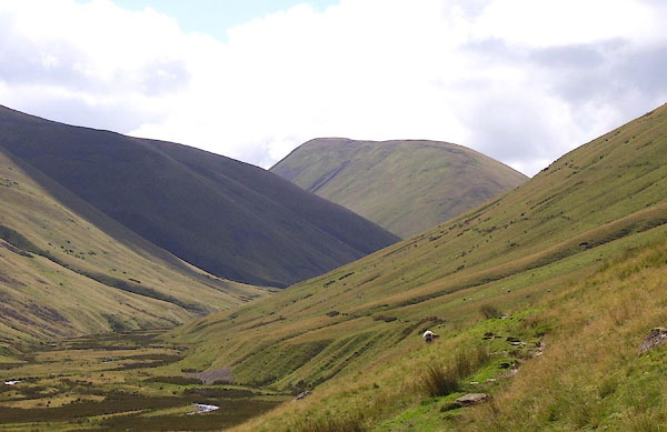 BNX75.jpg Yarlside at the head of Bowderdale. (taken 8.8.2007) |
||
|
|
||
 Lakes Guides menu.