Old Cumbria Gazetteer
 |
 |
|
||
| Worm Gill | ||||
| runs into:- |  Calder, River Calder, River |
|||
|
|
||||
| civil parish:- | Ennerdale and Kinniside (formerly Cumberland) | |||
| civil parish:- | St Bridget Beckermet (formerly Cumberland) | |||
| county:- | Cumbria | |||
| locality type:- | river | |||
| locality type:- | boundary | |||
| locality type:- | parish boundary | |||
| 1Km square:- | NY0809 | |||
| 10Km square:- | NY00 | |||
| SummaryText:- | the parish boundary is often beside not in the river | |||
|
|
||||
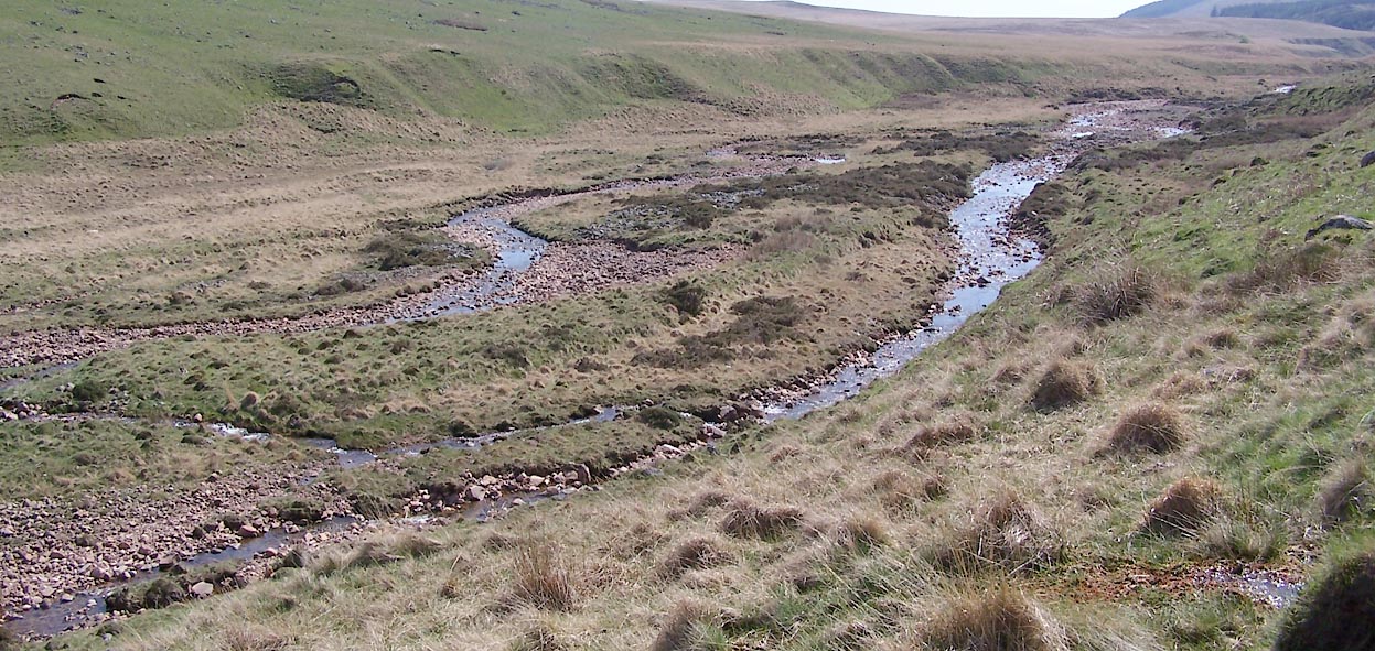
 BUL86.jpg (taken 27.4.2011) 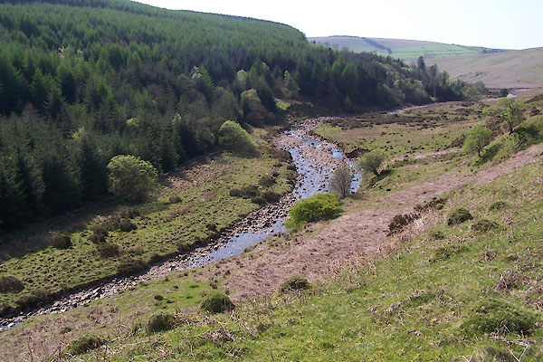 BUL95.jpg (taken 27.4.2011) |
||||
|
|
||||
| evidence:- | old map:- OS County Series (Cmd 73 3) placename:- Worm Gill |
|||
| source data:- | Maps, County Series maps of Great Britain, scales 6 and 25
inches to 1 mile, published by the Ordnance Survey, Southampton,
Hampshire, from about 1863 to 1948. OS County Series (Cmd 73 7) OS County Series (Cmd 73 10) |
|||
|
|
||||
| evidence:- | old map:- Donald 1774 (Cmd) |
|||
| source data:- | Map, hand coloured engraving, 3x2 sheets, The County of Cumberland, scale about 1
inch to 1 mile, by Thomas Donald, engraved and published by Joseph Hodskinson, 29
Arundel Street, Strand, London, 1774.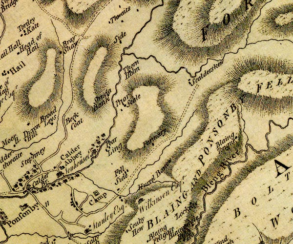 D4NY00NE.jpg single or double wiggly line; a river into the Calder item:- Carlisle Library : Map 2 Image © Carlisle Library |
|||
|
|
||||
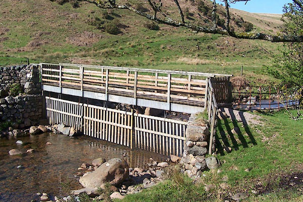
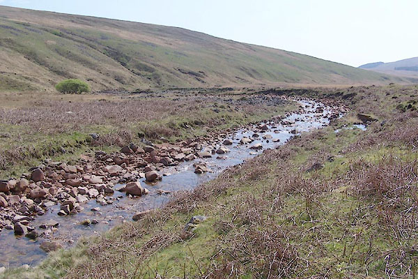
 Click to enlarge BUL89.jpg (taken 27.4.2011) 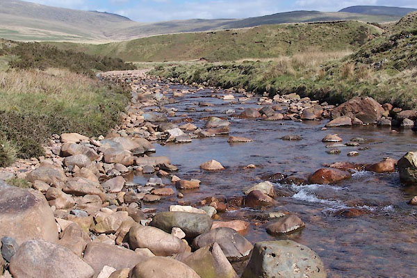 BUL93.jpg Bridleway crossing, (taken 27.4.2011) 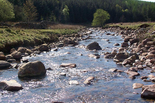 BUL94.jpg Bridleway crossing, (taken 27.4.2011) 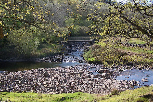 BUM05.jpg Confluence of Worm Gill and River Calder. (taken 27.4.2011) |
||||
|
|
||||
| places:- |
|
|||
Lakes Guides menu.