 Old Cumbria Gazetteer
 |
 |
|
| Woodland Station, Broughton West | ||
| Woodland Station | ||
| site name:- | Coniston Railway | |
| civil parish:- | Broughton West (formerly Lancashire) | |
| county:- | Cumbria | |
| locality type:- | railway station (ex) | |
| locality type:- | buildings | |
| coordinates:- | SD24109035 | |
| 1Km square:- | SD2490 | |
| 10Km square:- | SD29 | |
| SummaryText:- | Opened 1859; closed 1958. | |
|
|
||
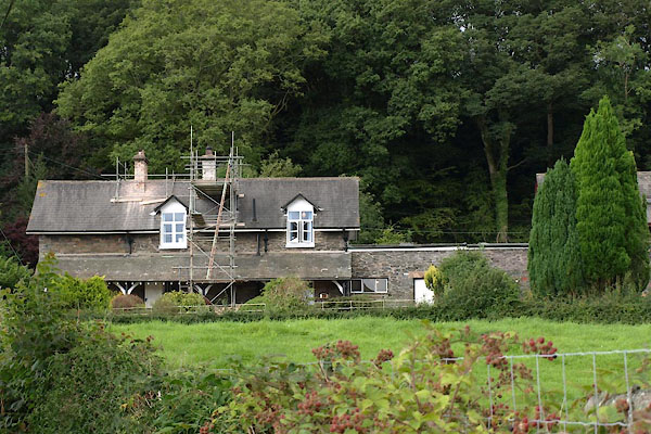 BTK20.jpg (taken 25.8.2010) 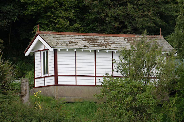 BTK22.jpg Signal box? at the bottom of the garden. (taken 25.8.2010) |
||
|
|
||
| evidence:- | old map:- OS County Series (Lan 7 5) placename:- Woodland Station item:- weighing machine; railway bridge |
|
| source data:- | Maps, County Series maps of Great Britain, scales 6 and 25
inches to 1 mile, published by the Ordnance Survey, Southampton,
Hampshire, from about 1863 to 1948.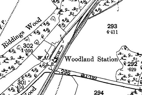 click to enlarge click to enlargeCSRY0118.jpg "Woodland Station / W.M." |
|
|
|
||
| evidence:- | old map:- Post Office 1850s-1900s placename:- Woodlands Station |
|
| source data:- | Post road maps, General Post Office Circulation Map for England
and Wales, for the General Post Office, London, 1850s-1900s. click to enlarge click to enlargePOF7Cm.jpg "Woodlands Sta." map date 1909 |
|
|
|
||
| evidence:- | old map:- Post Office 1850s-1900s placename:- Woodlands Station |
|
| source data:- | Post road maps, General Post Office Circulation Map for England
and Wales, for the General Post Office, London, 1850s-1900s. click to enlarge click to enlargePF10Cm.jpg "Woodlands Sta." map date 1892 |
|
|
|
||
| evidence:- | old map:- Post Office 1850s-1900s placename:- Woodlands Station |
|
| source data:- | Post road maps, General Post Office Circulation Map for England
and Wales, for the General Post Office, London, 1850s-1900s. click to enlarge click to enlargePOF2Cm.jpg "Woodlands Sta." map date 1890 |
|
|
|
||
| evidence:- | old map:- Post Office 1850s-1900s placename:- Woodlands Station |
|
| source data:- | Post road maps, General Post Office Circulation Map for England
and Wales, for the General Post Office, London, 1850s-1900s.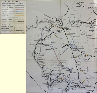 click to enlarge click to enlargePOF8Cm.jpg "Woodlands Stn." map date 1873 |
|
|
|
||
| :- |
images courtesy of the British Postal Museum and Hampshire CC Museums |
|
|
|
||
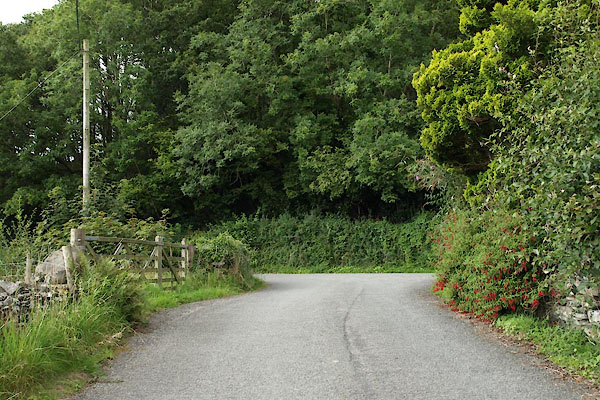 BTK18.jpg Site of level crossing? or have the road levels been changed? (taken 25.8.2010) 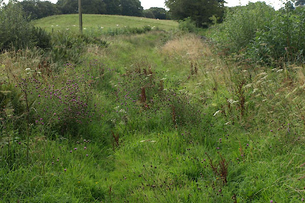 BTK19.jpg View S. (taken 25.8.2010) 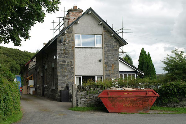 BTK21.jpg (taken 25.8.2010) |
||
|
|
||
 Lakes Guides menu.