 Old Cumbria Gazetteer
 |
 |
|
| Woodhow, Nether Wasdale | ||
| Woodhow | ||
| Woodhow Farm | ||
| locality:- | Wasdale | |
| civil parish:- | Nether Wasdale (formerly Cumberland) | |
| county:- | Cumbria | |
| locality type:- | buildings | |
| coordinates:- | NY14000418 | |
| 1Km square:- | NY1404 | |
| 10Km square:- | NY10 | |
|
|
||
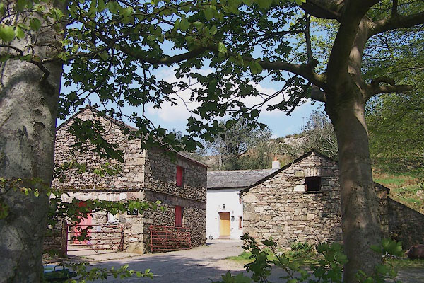 BMB71.jpg (taken 11.5.2006) |
||
|
|
||
| evidence:- | old map:- Hall 1820 (Cmd) placename:- Wood How |
|
| source data:- | Map, hand coloured engraving, Cumberland, scale about 21 miles
to 1 inch, engraved by Sidney Hall, published by S Leigh, 18
Strand, London, 1820-31. click to enlarge click to enlargeHA14.jpg "Wood How" circle, italic lowercase text; settlement item:- JandMN : 91 Image © see bottom of page |
|
|
|
||
| evidence:- | database:- Listed Buildings 2010 placename:- Woodhow Farm |
|
| source data:- | courtesy of English Heritage "WOODHOW FARMHOUSE WITH ATTACHED BYRES, AREA WALLS AND PUMP / / / WASDALE / COPELAND / CUMBRIA / II / 76279 / NY1400204214" |
|
|
|
||
 Lakes Guides menu.