 Old Cumbria Gazetteer
 |
 |
|
| Woodend, Above Derwent | ||
| Woodend | ||
| civil parish:- | Above Derwent (formerly Cumberland) | |
| county:- | Cumbria | |
| locality type:- | buildings | |
| coordinates:- | NY21922727 | |
| 1Km square:- | NY2127 | |
| 10Km square:- | NY22 | |
|
|
||
| evidence:- | probably old map:- Donald 1774 (Cmd) placename:- Woodhouse |
|
| source data:- | Map, hand coloured engraving, 3x2 sheets, The County of Cumberland, scale about 1
inch to 1 mile, by Thomas Donald, engraved and published by Joseph Hodskinson, 29
Arundel Street, Strand, London, 1774.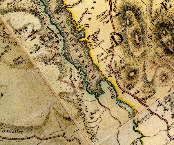 D4NY22NW.jpg "Woodhouse" block or blocks, labelled in lowercase; a hamlet or just a house item:- Carlisle Library : Map 2 Image © Carlisle Library |
|
|
|
||
| evidence:- | old map:- Crosthwaite 1783-94 (Bas) placename:- Woodend |
|
| source data:- | Map, uncoloured engraving, An Accurate Map of Broadwater or
Bassenthwaite Lake, scale about 3 inches to 1 mile, by Peter
Crosthwaite, Keswick, Cumberland, 1783, version published 1800.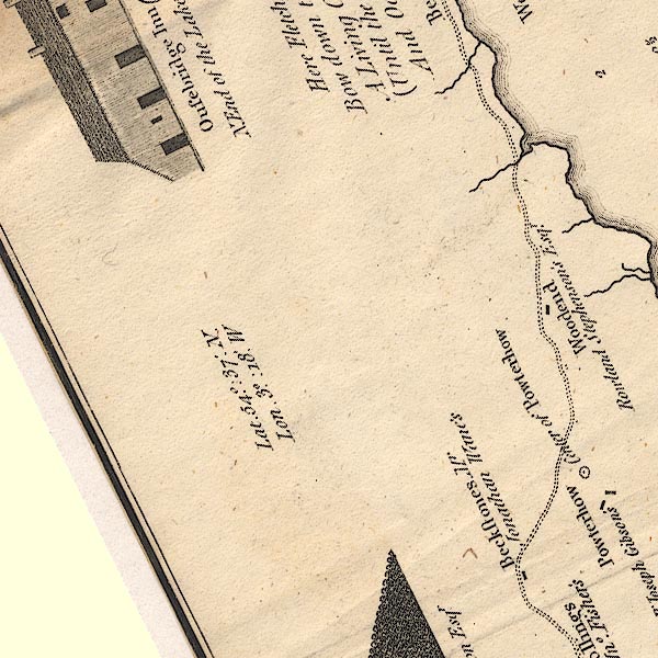 CT6NY22D.jpg "Woodend / Rowland Stephenson's Esqr." item:- Armitt Library : 1959.191.4 Image © see bottom of page |
|
|
|
||
| evidence:- | old text:- Clarke 1787 placename:- Wood End |
|
| source data:- | Guide book, A Survey of the Lakes of Cumberland, Westmorland,
and Lancashire, written and published by James Clarke, Penrith,
Cumberland, and in London etc, 1787; published 1787-93. goto source goto sourcePage 93:- "Next we see Wood-End, a dark, gloomy situation, exposed to the north wind, and deprived even of the beams of the mid-day sun; the gloominess of this spot is occasioned by the hill, which shelters Powter-How, and which shades the whole southern face of Wood-End." |
|
|
|
||
| evidence:- | old map:- Clarke 1787 map (Bassenthwaite Lake) placename:- Woodend |
|
| source data:- | Map, A Map of Broadwater and its Environs, ie Bassenthwaite
Lake, scale about 6.5 ins to 1 mile, by James Clarke, engraved
by Neele, 352 Strand, published by James Clarke, Penrith,
Cumberland and in London etc, 1787.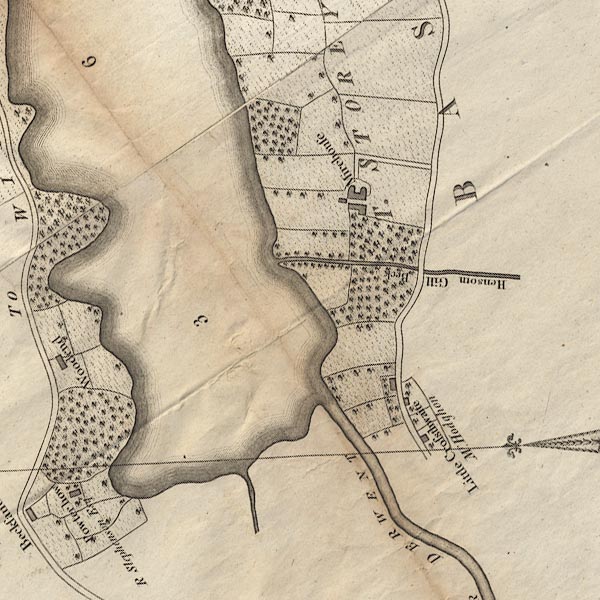 CL8NY22I.jpg "Woodend" item:- private collection : 10.8 Image © see bottom of page |
|
|
|
||
| evidence:- | old map:- Ford 1839 map placename:- Woodhouse |
|
| source data:- | Map, uncoloured engraving, Map of the Lake District of
Cumberland, Westmoreland and Lancashire, scale about 3.5 miles
to 1 inch, published by Charles Thurnam, Carlisle, and by R
Groombridge, 5 Paternoster Row, London, 3rd edn 1843.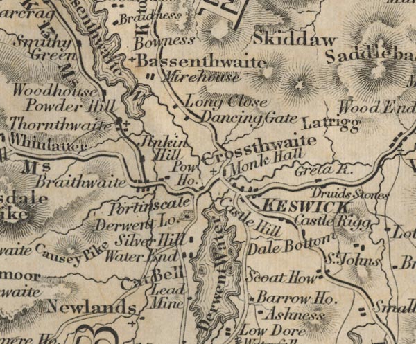 FD02NY22.jpg "Woodhouse" item:- JandMN : 100.1 Image © see bottom of page |
|
|
|
||
Lakes Guides menu.