 Old Cumbria Gazetteer
 |
 |
|
| Widewath Mill, Widewath | ||
| Widewath Mill | ||
| locality:- | Widewath | |
| civil parish:- | Askham (formerly Westmorland) | |
| county:- | Cumbria | |
| locality type:- | water mill | |
| locality type:- | mill (disused) | |
| coordinates:- | NY50312082 | |
| 1Km square:- | NY5020 | |
| 10Km square:- | NY52 | |
|
|
||
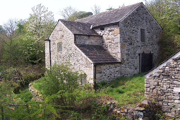 BMC74.jpg (taken 12.5.2006) 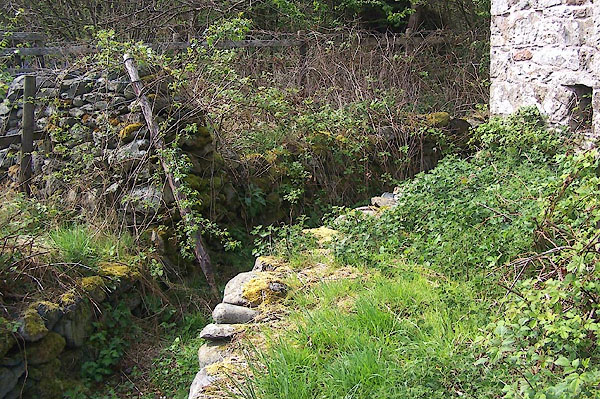 BMC76.jpg (taken 12.5.2006) |
||
|
|
||
| evidence:- | old map:- OS County Series (Wmd 7 15) placename:- Widewath Mill |
|
| source data:- | Maps, County Series maps of Great Britain, scales 6 and 25
inches to 1 mile, published by the Ordnance Survey, Southampton,
Hampshire, from about 1863 to 1948. "Widewath Mill (Corn) / [Weir] / Aqueduct" |
|
|
|
||
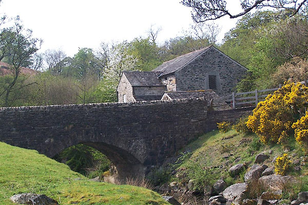 BMC75.jpg (taken 12.5.2006) |
||
|
|
||
 Lakes Guides menu.