 Old Cumbria Gazetteer
 |
 |
|
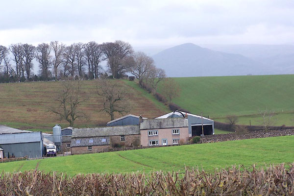
| Wickerfield, King's Meaburn | ||
| Wickerfield | ||
| civil parish:- | King's Meaburn (formerly Westmorland) | |
| county:- | Cumbria | |
| locality type:- | buildings | |
| coordinates:- | NY63961928 | |
| 1Km square:- | NY6319 | |
| 10Km square:- | NY61 | |
|
|
||
 BNG06.jpg (taken 23.2.2007) 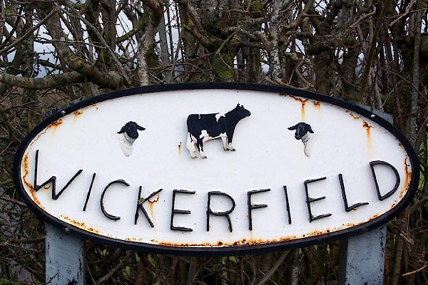 BNG07.jpg House name sign, welded and painted iron? "WICKERFIELD" (taken 23.2.2007) |
||
|
|
||
| evidence:- | old map:- OS County Series (Wmd 15 1) placename:- Wickerfield |
|
| source data:- | Maps, County Series maps of Great Britain, scales 6 and 25
inches to 1 mile, published by the Ordnance Survey, Southampton,
Hampshire, from about 1863 to 1948. |
|
|
|
||
 Lakes Guides menu.