 Old Cumbria Gazetteer
 |
 |
|
| Whoap, Ennerdale and Kinniside | ||
| Whoap | ||
| civil parish:- | Ennerdale and Kinniside (formerly Cumberland) | |
| county:- | Cumbria | |
| locality type:- | hill | |
| coordinates:- | NY09931286 (etc) | |
| 1Km square:- | NY0912 | |
| 10Km square:- | NY01 | |
| altitude:- | 1677 feet | |
| altitude:- | 511m | |
|
|
||
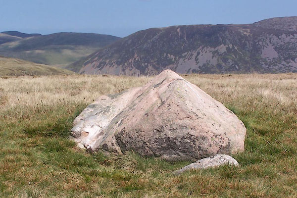 BUL74.jpg The stone at the top, (taken 27.4.2011) |
||
|
|
||
| evidence:- | old map:- OS County Series (Cmd 68 15) placename:- Whoap |
|
| source data:- | Maps, County Series maps of Great Britain, scales 6 and 25
inches to 1 mile, published by the Ordnance Survey, Southampton,
Hampshire, from about 1863 to 1948. |
|
|
|
||
 Lakes Guides menu.