 Old Cumbria Gazetteer
 |
 |
|
| Whitriggs, Seascale | ||
| Whitriggs | ||
| civil parish:- | Seascale (formerly Cumberland) | |
| county:- | Cumbria | |
| locality type:- | buildings | |
| coordinates:- | NY04290066 | |
| 1Km square:- | NY0400 | |
| 10Km square:- | NY00 | |
|
|
||
| evidence:- | old map:- OS County Series (Cmd 78 13) placename:- Whitriggs |
|
| source data:- | Maps, County Series maps of Great Britain, scales 6 and 25
inches to 1 mile, published by the Ordnance Survey, Southampton,
Hampshire, from about 1863 to 1948. |
|
|
|
||
| evidence:- | old map:- Donald 1774 (Cmd) placename:- Whitricks |
|
| source data:- | Map, hand coloured engraving, 3x2 sheets, The County of Cumberland, scale about 1
inch to 1 mile, by Thomas Donald, engraved and published by Joseph Hodskinson, 29
Arundel Street, Strand, London, 1774.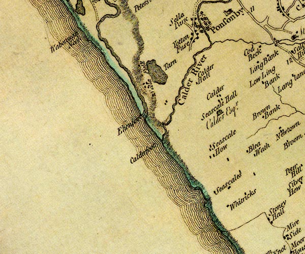 D4NY00SW.jpg "Whitricks" block or blocks, labelled in lowercase; a hamlet or just a house item:- Carlisle Library : Map 2 Image © Carlisle Library |
|
|
|
||
| evidence:- | old advertisement:- Seascale 1920s-30s placename:- Whitriggs Farm |
|
| source data:- | Advertisements, for J Pearson, dairy farm, Whitriggs Farm, Seascale, Cumberland, ...,
in a guide book, Seascale for Health and Holidays, published by Edward Burrow and
Son, Cheltenham, Gloucestershire, 1920s-30s.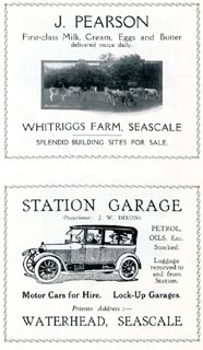 click to enlarge click to enlargeSES126.jpg item:- JandMN : 1079.26 Image © see bottom of page |
|
|
|
||
 Lakes Guides menu.