 Old Cumbria Gazetteer
 |
 |
|
| Whiteside Pike, Whitwell and Selside | ||
| Whiteside Pike | ||
| Whiteside | ||
| civil parish:- | Whitwell and Selside (formerly Westmorland) | |
| county:- | Cumbria | |
| locality type:- | hill | |
| coordinates:- | NY52100157 | |
| 1Km square:- | NY5201 | |
| 10Km square:- | NY50 | |
| altitude:- | 1302 feet | |
| altitude:- | 397m | |
|
|
||
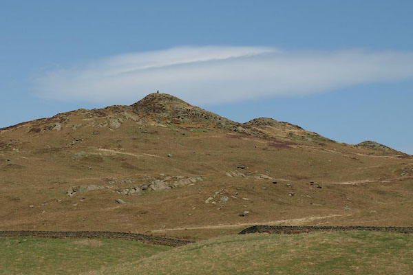 BSM18.jpg (taken 11.4.2010) |
||
|
|
||
| evidence:- | old map:- OS County Series (Wmd 27 16) placename:- Whiteside Pike |
|
| source data:- | Maps, County Series maps of Great Britain, scales 6 and 25
inches to 1 mile, published by the Ordnance Survey, Southampton,
Hampshire, from about 1863 to 1948. "Whiteside Pike / Sur. 1302.0" |
|
|
|
||
| evidence:- | old map:- Burrow 1920s |
|
| source data:- | Road book, On the Road, Dunlop Pictorial Road Plans, volume V,
strip maps with parts in Westmorland, Cumberland etc, irregular
scale about 1.5 miles to 1 inch, by E J Burrow and Co,
Cheltenham, Gloucestershire, 1920s.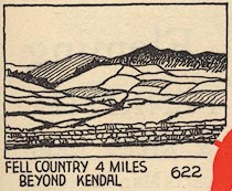 EJB3Vg11.jpg item:- private collection : 17 Image © see bottom of page |
|
|
|
||
 Lakes Guides menu.