 Old Cumbria Gazetteer
 |
 |
|
| White Howe, Fawcett Forest | ||
| White Howe | ||
| civil parish:- | Fawcett Forest (formerly Westmorland) | |
| county:- | Cumbria | |
| locality type:- | hill | |
| coordinates:- | NY52360419 | |
| 1Km square:- | NY5204 | |
| 10Km square:- | NY50 | |
| altitude:- | 1739 feet | |
| altitude:- | 530m | |
|
|
||
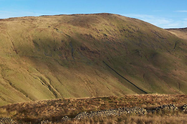 BXS71.jpg (taken 29.11.2012) 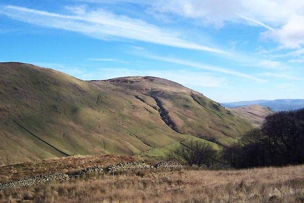 BXS73.jpg (taken 29.11.2012) |
||
|
|
||
| evidence:- | old map:- OS County Series (Wmd 27 12) placename:- White Howe |
|
| source data:- | Maps, County Series maps of Great Britain, scales 6 and 25
inches to 1 mile, published by the Ordnance Survey, Southampton,
Hampshire, from about 1863 to 1948. |
|
|
|
||
 Lakes Guides menu.