 |
 |
|
|
|
|
West End |
| locality:- |
Burgh by Sands |
| civil parish:- |
Burgh by Sands (formerly Cumberland) |
| county:- |
Cumbria |
| locality type:- |
locality |
| locality type:- |
buildings |
| coordinates:- |
NY32185901 (etc) |
| 1Km square:- |
NY3259 |
| 10Km square:- |
NY35 |
|
|
| evidence:- |
old map:- OS County Series (Cmd 15 16)
placename:- West End
|
| source data:- |
Maps, County Series maps of Great Britain, scales 6 and 25
inches to 1 mile, published by the Ordnance Survey, Southampton,
Hampshire, from about 1863 to 1948.
|
|
|
| places:- |
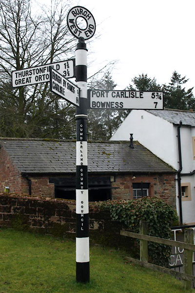 |
NY31865895 fingerpost, Burgh by Sands (Burgh by Sands) |
|
|
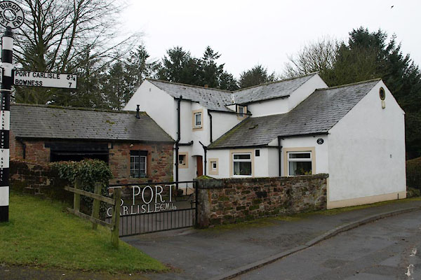 |
NY31865895 Mill House (Burgh by Sands) |
|
|
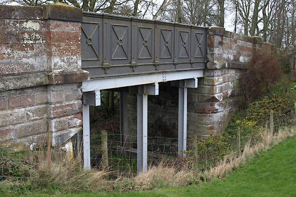 |
NY31855891 West Green Bridge (Burgh by Sands) L |
|

 Lakes Guides menu.